Enable Location

We need your location to show you interesting places around you

Discover nearby places

Find interesting locations and hidden gems around you

Precise directions

Get accurate directions and distances to places

Your location is never shared with other users. It's only used when you tap the location button.

Mount Gyōjagaeri

Log in to your account

Start exploring — it's free

Trusted by 61,342 travelers worldwide

Continue with Google
Continue with Apple
or

We will send you a code to connect

By continuing, you accept our Terms and Conditions and our Privacy Policy

Check your inbox

We've sent a pincode in your inbox. Please enter the code below.

Mount Gyōjagaeri

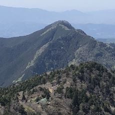
Mount Gyōjagaeri, Sacred mountain in Nara Prefecture, Japan

Description

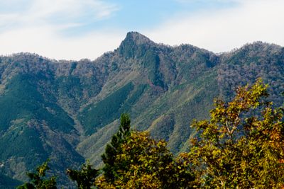
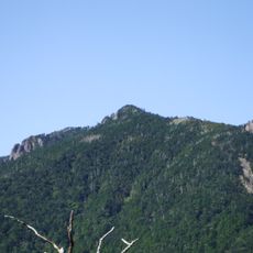
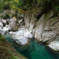
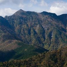
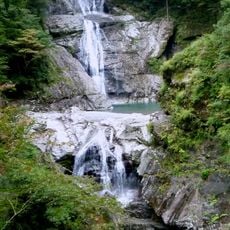
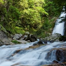
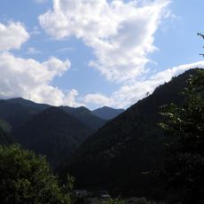
Mount Gyōjagaeri is a peak in Nara Prefecture that rises to approximately 1546 meters between the villages of Tenkawa and Kamikitayama in a densely forested region. Several hiking routes traverse this wooded terrain, offering varied paths for different climbing approaches.

History

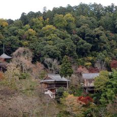
This peak gained recognition over centuries for its spiritual significance and was later included in both the 100 Famous Mountains of Kansai and the Nara 100 Mountains listings. This formal acknowledgment reflects its established role as a place of religious importance.

Culture

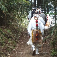
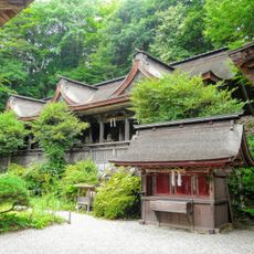
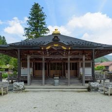
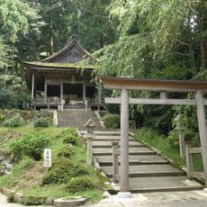
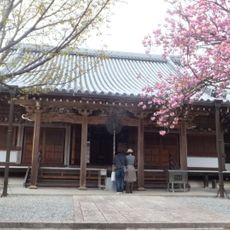
The mountain serves as a spiritual center for practitioners of Shugendo, a practice that merges Buddhist and Shinto traditions in mountain worship. Locals regard this peak as a place where their religious and physical disciplines come together.

Practical

Spring and autumn are the best seasons for climbing, when weather is most stable and visibility from the summit is clearest. The hike requires sturdy footwear and proper gear since the paths are steep and can be slippery in places.

Did you know?

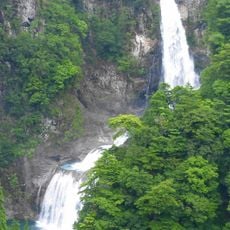
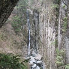
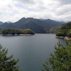
Vegetation changes noticeably with elevation, creating distinct natural zones from the base to the summit. This layering allows visitors to experience multiple ecosystems during a single climb.

Location
Location
Elevation above the sea
1,546.2 m
Part of
100 Famous Kansai Mountains, Nara 100 Mountains
GPS coordinates
34.20467,135.94479
Latest update
December 10, 2025 16:23

AroundUs brings together thousands of curated places, local tips, and hidden gems, enriched daily by 60,000 contributors worldwide. Discover all places nearby (Tenkawa).

« Mount Gyōjagaeri - Sacred mountain in Nara Prefecture, Japan » is provided by Around Us (aroundus.com). Images and texts are derived from Wikimedia project under a Creative Commons license. You are allowed to copy, distribute, and modify copies of this page, under the conditions set by the license, as long as this note is clearly visible.

Discover hidden gems everywhere you go!

From secret cafés to breathtaking viewpoints, skip the crowded tourist spots and find places that match your style. Our app makes it easy with voice search, smart filtering, route optimization, and insider tips from travelers worldwide. Download now for the complete mobile experience.

Around Us App Screenshot

A unique approach to discovering new places

Le Figaro

All the places worth exploring

France Info

A tailor-made excursion in just a few clicks

20 Minutes

Around Us
Travel Guide & Maps
Download

Send to your phone

QR Code
1

Open the camera app on your mobile.

2

Point at the QR code with your camera. A notification will appear.

3

Tap the notification to open the link.