Enable Location

We need your location to show you interesting places around you

Discover nearby places

Find interesting locations and hidden gems around you

Precise directions

Get accurate directions and distances to places

Your location is never shared with other users. It's only used when you tap the location button.

Urawa-ku

Log in to your account

Start exploring — it's free

Trusted by 61,979 travelers worldwide

Continue with Google
Continue with Apple
or

We will send you a code to connect

By continuing, you accept our Terms and Conditions and our Privacy Policy

Check your inbox

We've sent a pincode in your inbox. Please enter the code below.

Urawa-ku

Urawa-ku, School district and administrative ward in Saitama, Japan

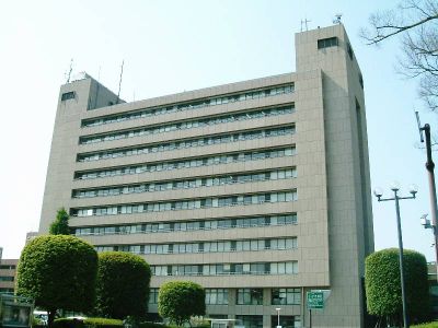
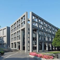
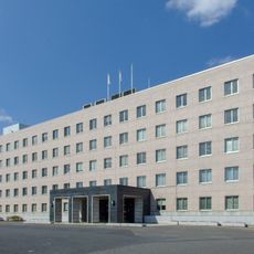
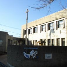
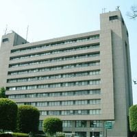
Urawa-ku is the administrative ward housing Saitama's city hall and main government offices. The district contains twelve elementary schools, five junior high schools, and six high schools serving the local population.

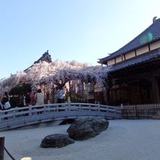
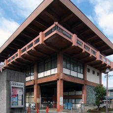
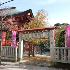
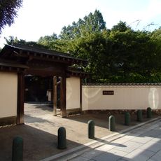
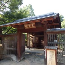
The ward originated during the Edo period as Urawa-shuku, a stop on the Nakasendo highway connecting Edo and Kyoto. It later became the administrative capital of Saitama Prefecture.

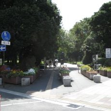
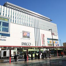
The ward serves as Saitama's administrative hub and education center, shaping how residents interact with local institutions daily. People gather around schools and municipal offices, making these spaces central to community life.

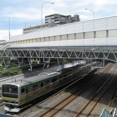
The area is well served by public transportation with connections through three major rail lines reaching different parts of the prefecture. Walking routes between schools and government buildings are straightforward and pedestrian-friendly.

An international school in the ward offers specialized programs for students preparing for university entrance examinations. The program attracts students with English-language educational backgrounds seeking entry into top institutions.

The community of curious travelers

AroundUs brings together thousands of curated places, local tips, and hidden gems, enriched daily by 60,000 contributors worldwide.

Start exploring
Location
Inception
April 1, 2003
GPS coordinates
35.86201,139.64554
Latest update
December 17, 2025 09:58
Administrative divisions
« Urawa-ku - School district and administrative ward in Saitama, Japan » is provided by Around Us (aroundus.com). Images and texts are derived from Wikimedia project under a Creative Commons license. You are allowed to copy, distribute, and modify copies of this page, under the conditions set by the license, as long as this note is clearly visible.

Discover hidden gems everywhere you go!

From secret cafés to breathtaking viewpoints, skip the crowded tourist spots and find places that match your style. Our app makes it easy with voice search, smart filtering, route optimization, and insider tips from travelers worldwide. Download now for the complete mobile experience.

Around Us App Screenshot

A unique approach to discovering new places

Le Figaro

All the places worth exploring

France Info

A tailor-made excursion in just a few clicks

20 Minutes

Around Us
Travel Guide & Maps
Download

Send to your phone

QR Code
1

Open the camera app on your mobile.

2

Point at the QR code with your camera. A notification will appear.

3

Tap the notification to open the link.