Higashikanbara district, Administrative district in Niigata Prefecture, Japan
Higashikanbara district spans across 952 square kilometers of eastern Niigata Prefecture, containing the municipality of Aga and numerous rural settlements.
The district emerged from administrative reforms on January 27, 1879, and remained part of Fukushima Prefecture until its transfer to Niigata Prefecture in 1886.
The district maintains traditional agricultural practices and rural lifestyles that characterize the eastern regions of Niigata Prefecture, Japan.
The district population of 10,327 residents concentrates in the town of Aga, which serves as the primary administrative and commercial center.
Four independent municipalities - Kanose, Tsugawa, Kamikawa, and Mikawa - merged in 2005 to form the current single town of Aga within the district.
Location: Niigata Prefecture
Inception: January 27, 1879
GPS coordinates: 37.66492,139.46418
Latest update: March 5, 2025 19:29
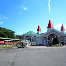
Suntopia World
21.7 km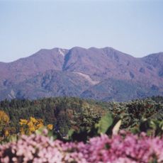
Mt. Gozu
18.4 km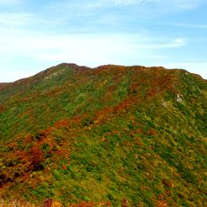
Mount Mikagura
16.3 km
Château de Tsugawashiro
2.4 km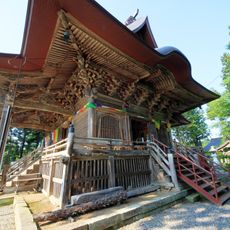
如法寺
18.5 km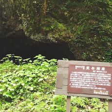
Muroya Cave
16.2 km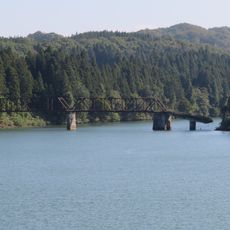
舊柴崎橋
15.7 km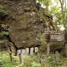
Kosegasawa Cave
9.6 km
阿賀野川深戸橋梁
4.5 km
麒麟橋
2.8 km
阿賀野川當麻橋樑
7.3 km
平等寺 (阿賀町)
11.1 km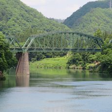
阿賀野川德澤橋樑
11.7 km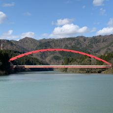
船渡大橋
10.2 km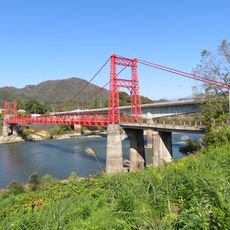
鹿瀨橋
3.7 km
阿賀野川御前橋樑
9.3 km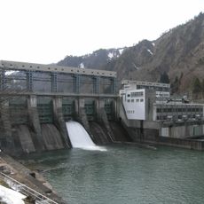
Uwada Dam
21.3 km
小花地大橋
7.6 km
石間釣濱橋
15.8 km
Mt. Hiruba
15.6 km
新渡大橋
11.2 km
菱潟大橋
10.1 km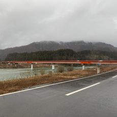
岩津橋
10.3 km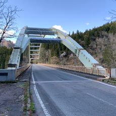
徳石大橋
9.8 km
五十島橋
11.1 km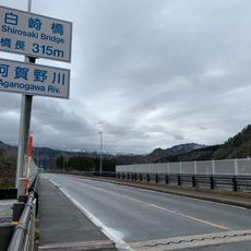
白崎橋
9.2 km
釣浜橋
15.8 km
取上橋
14.4 kmReviews
Visited this place? Tap the stars to rate it and share your experience / photos with the community! Try now! You can cancel it anytime.

Discover hidden gems everywhere you go!
From secret cafés to breathtaking viewpoints, skip the crowded tourist spots and find places that match your style. Our app makes it easy with voice search, smart filtering, route optimization, and insider tips from travelers worldwide. Download now for the complete mobile experience.

A unique approach to discovering new places❞
— Le Figaro
All the places worth exploring❞
— France Info
A tailor-made excursion in just a few clicks❞
— 20 Minutes