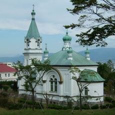
Kaminokuni, town in Hiyama district, Hokkaido, Japan
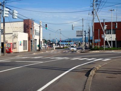
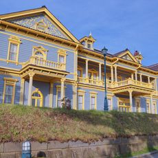
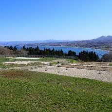
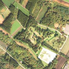
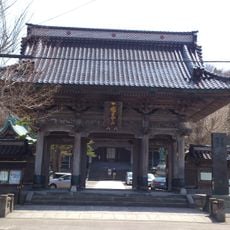
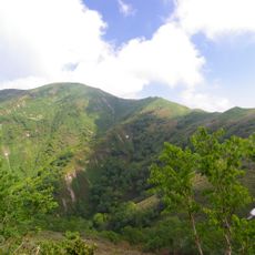
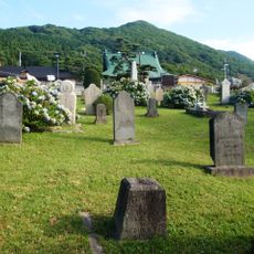
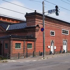
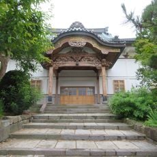
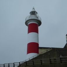
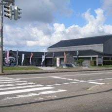
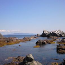
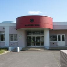
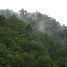
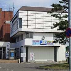
Kaminokuni is a small town in the Hiyama district on Hokkaido's coast along the Sea of Japan. The center contains typical Japanese commercial buildings and residential areas, while forests and farming land surround the periphery.
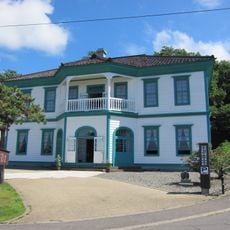
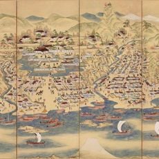
The town was established in the late 1800s as a settlement centered on fishing and mining, which shaped its early growth. Today it remains a quiet coastal community that has evolved beyond its industrial origins.
The town is best reached by car since public transportation is limited and distances between areas are large. Visitors should expect simple accommodations and a relaxed pace, as tourism facilities are minimal.
The community of curious travelers
AroundUs brings together thousands of curated places, local tips, and hidden gems, enriched daily by 60,000 contributors worldwide.