Naruto Strait, Strait and scenic landmark between Awaji Island and Shikoku, Japan
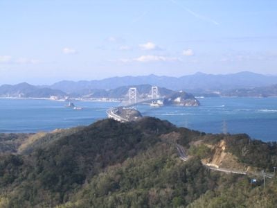
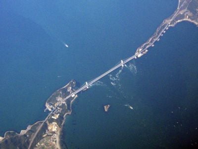
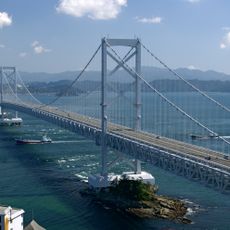
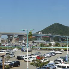
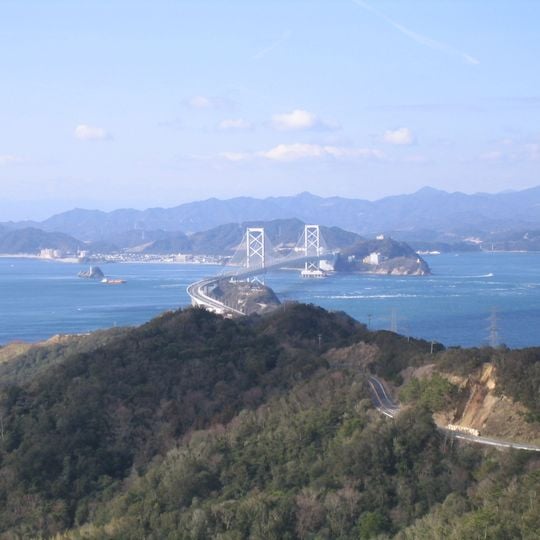
The Naruto Strait is a channel about 1,340 meters wide at its narrowest point, between Magosaki on Shikoku's Oge Island and Tosaki on Awaji Island, linking the Harima Nada of the Seto Inland Sea with the Kii Channel. Its central seabed forms a V about 90 meters deep, flanked by basins 160 meters deep to the south and 200 meters to the north. The Oonaruto Bridge, a suspension bridge with two H-shaped towers, crosses the strait.
The strait was designated a national Place of Scenic Beauty in 1931, together with the hills, coast and islands of Naruto Park, and was added to Setonaikai National Park in 1950. The Oonaruto Bridge opened in 1985; when the last Awaji ferry route closed in 1995, mopeds lost their crossing. The strait had long been counted among Japan's three most perilous waters.
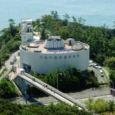
The strait's name is tied to the thunder-like sound of its whirlpools, and the annual "Whirlpool Opening" celebration is held by Naruto City's tourism association with the spring tide. A monument with the lyrics of Kiyoko Gōda's 1996 song "Naruto Kaikyō," which sold about 400,000 copies, stands at the Uzushio roadside station.
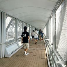
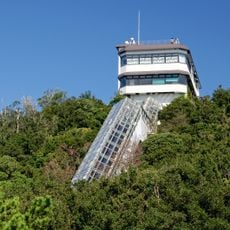
Viewing platforms on the Onaruto Bridge offer glass walkways for observation, while boat tours depart from terminals in Naruto and Minamiawaji for closer perspectives. The water movements vary depending on tidal cycles, so planning your visit according to tidal schedules will give you the most dramatic views.
The strait's name is written with the characters for "resounding" and "gate", and the water is not the only thing that roars: the passage is counted with the Tone River mouth and Irago as one of Japan's three great hazardous waters. Between 2002 and 2006, 15 accidents were recorded here, 8 of them directly beneath the Onaruto Bridge.
The community of curious travelers
AroundUs brings together thousands of curated places, local tips, and hidden gems, enriched daily by 93,265 contributors worldwide.