
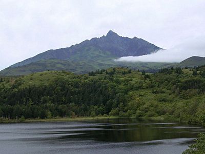
Rishirifuji, town in Rishiri district, Hokkaido, Japan
Location: Soya Subprefecture
Location: Rishiri district
Inception: September 30, 1956
Shares border with: Rishiri
Website: https://town.rishirifuji.hokkaido.jp/rishirifuji
GPS coordinates: 45.24756,141.21458
Latest update: May 27, 2025 11:49

Lake Shumarinai
129.9 km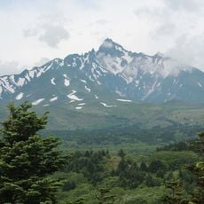
Mount Rishiri
7.8 km
Benten-jima
63.2 km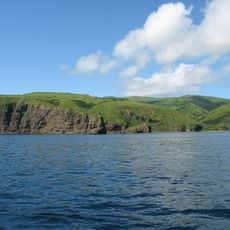
Moneron Island
112 km
Wakkanai Breakwater Dome
41.2 km
Hyōsetsu no Mon
40.5 km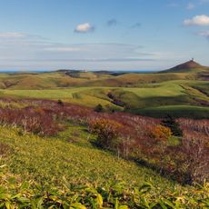
Soya Hills
60.1 km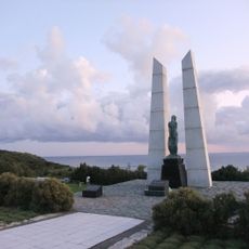
Wakkanai Park
40.3 km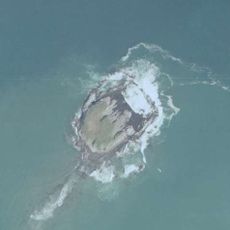
ゴメ島
141.1 km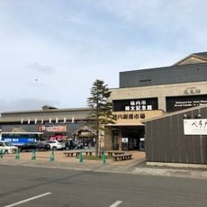
Wakkanai Fukkō Ichiba
40.4 km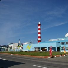
Wakkanai Noshappu Aquarium
40.5 km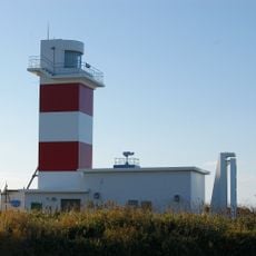
Sōyamisaki Lighthouse
64.2 km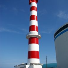
Wakkanai Lighthouse
40.5 km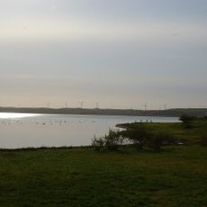
Lake Ōnuma
45.1 km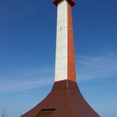
Wakkanai Centennial Memorial Tower / Hoppō Memorial Museum
39.9 km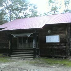
Kōken-ji
130.2 km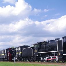
Nayoro City Museum
141.3 km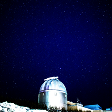
Nayoro Municipal Observatory Kitasubaru
139.6 km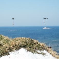
Hirashima
63.4 km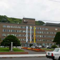
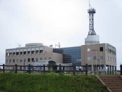
稚內市役所
40.5 km
North Okhotsk Prefectural Natural Park
91.3 km
Soshin-no-matsu
147.9 km
Okhotsk Museum Esashi
111.9 km
Wakkanai Karafuto Museum
40.3 km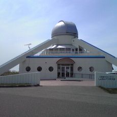
Shosanbetsu observatory
87.9 km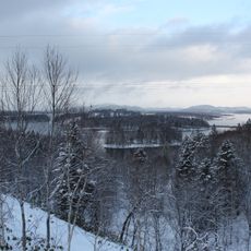
Shumarinai Prefectural Natural Park
129.5 km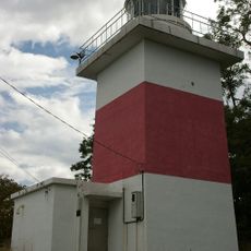
Mashike Lighthouse
157 km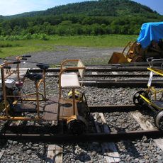
Torokko Okoku Bifuka
132.3 kmReviews
Visited this place? Tap the stars to rate it and share your experience / photos with the community! Try now! You can cancel it anytime.
Discover hidden gems everywhere you go!
From secret cafés to breathtaking viewpoints, skip the crowded tourist spots and find places that match your style. Our app makes it easy with voice search, smart filtering, route optimization, and insider tips from travelers worldwide. Download now for the complete mobile experience.

A unique approach to discovering new places❞
— Le Figaro
All the places worth exploring❞
— France Info
A tailor-made excursion in just a few clicks❞
— 20 Minutes