
Numata, town in Uryū district, Hokkaido, Japan
Location: Uryu District
Inception: April 1, 1919
Shares border with: Rumoi, Obira, Fukagawa, Chippubetsu, Hokuryu
Website: https://town.numata.hokkaido.jp
GPS coordinates: 43.80681,141.93333
Latest update: May 27, 2025 11:40
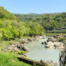
Kamuikotan
23.2 km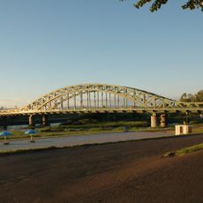
Asahi Bridge
34.4 km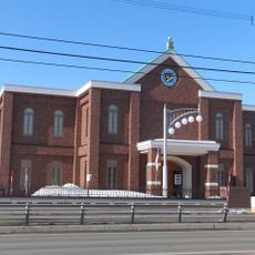
Hokuchin Memorial Museum
34.7 km
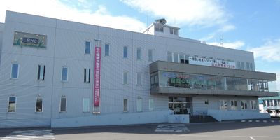
Hokkaido Railway Company Asahikawa branch office
34.3 km
Tokiwa Park
34.4 km
Miura Ayako Literature Museum
33.8 km
Asahikawa Science Center "Sci-Pal"
35.6 km
Asahikawa Civic Culture Hall
34.9 km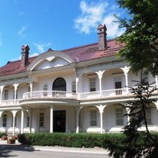
Asahikawa Museum of Sculpture
34.7 km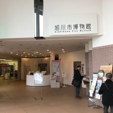
Asahikawa Taisetsu Crystal Hall
34 km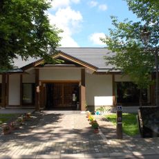
Yasushi Inoue Memorial Hall
34.6 km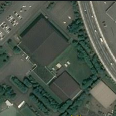
Asahikawa City General Gymnasium
35.6 km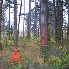
Foreign Tree Specimen Forest
33.8 km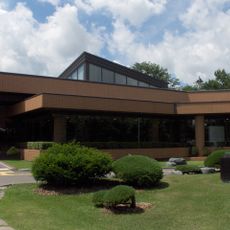
Hokkaido Asahikawa Museum of Art
34.1 km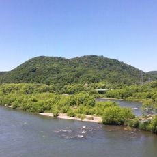
Arashiyama Park
29.7 km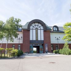
International Dyeing and Weaving Art Museum
30.3 km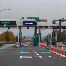
Fukagawa-nishi toll gate
17 km
旭川大橋 (旭川市)
32.5 km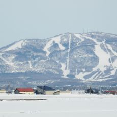
Mount Kamui
26.4 km
大成家庭廣場
35.5 km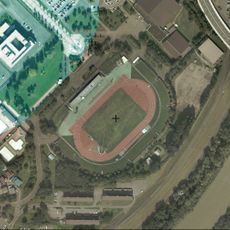
Hanasaki Sports Park Stadium
35.6 km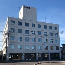
旭川市水道局
34.9 km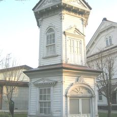
Rokkakudō
34.6 km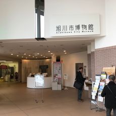
Asahikawa City Museum
33.9 km
近文大橋
30.6 km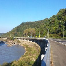
岩見大橋
24.7 km
Moseushi Town Curling Hall
11.8 km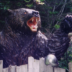
Sankebetsu brown bear incident
38 kmReviews
Visited this place? Tap the stars to rate it and share your experience / photos with the community! Try now! You can cancel it anytime.
Discover hidden gems everywhere you go!
From secret cafés to breathtaking viewpoints, skip the crowded tourist spots and find places that match your style. Our app makes it easy with voice search, smart filtering, route optimization, and insider tips from travelers worldwide. Download now for the complete mobile experience.

A unique approach to discovering new places❞
— Le Figaro
All the places worth exploring❞
— France Info
A tailor-made excursion in just a few clicks❞
— 20 Minutes