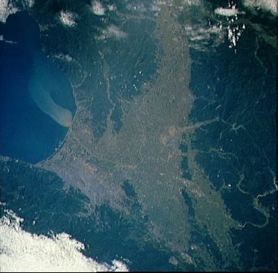
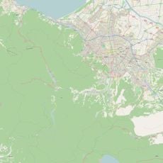
Ishikari Plain, Agricultural plain in western Hokkaido, Japan
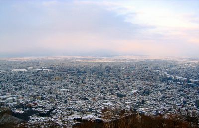
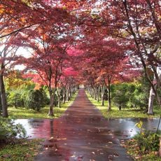
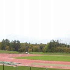
The Ishikari Plain is an agricultural region covering about 3,800 square kilometers of fertile flatland in western Hokkaido, bordered by mountains. The Ishikari River runs through it and supports the farming activities that shape the landscape.
About 40,000 years ago, volcanic activity from the Shikotsu mountains changed the course of the Ishikari River and shaped this region. These geological shifts created the landscape conditions that would later support farming.
The name Ishikari comes from the Ainu people and refers to the way the river winds through the farmland here. This connection between local communities and the river's path remains visible in how the landscape is used today.
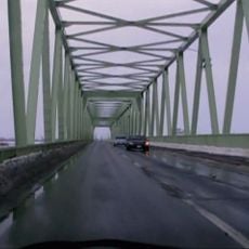
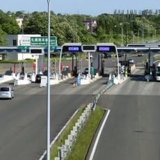
Transportation networks connect the farms and villages throughout the region to markets and distribution centers. Sapporo acts as the main hub for getting agricultural goods out of the plain.
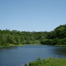
The river left behind several oxbow lakes when it shifted its path over time, creating crescent-shaped water bodies scattered across the land. These ponds offer a glimpse into how rivers naturally reshape themselves.
The community of curious travelers
AroundUs brings together thousands of curated places, local tips, and hidden gems, enriched daily by 60,000 contributors worldwide.