Enable Location

We need your location to show you interesting places around you

Discover nearby places

Find interesting locations and hidden gems around you

Precise directions

Get accurate directions and distances to places

Your location is never shared with other users. It's only used when you tap the location button.

Kōyasan chōishi-michi

Log in to your account

Start exploring — it's free

Trusted by 62,159 travelers worldwide

Continue with Google
Continue with Apple
or

We will send you a code to connect

By continuing, you accept our Terms and Conditions and our Privacy Policy

Check your inbox

We've sent a pincode in your inbox. Please enter the code below.

Kōyasan chōishi-michi, Pilgrimage trail in Ito district, Japan.

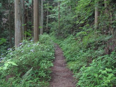
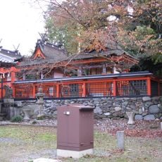
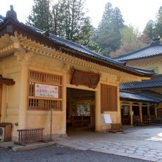
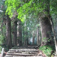
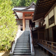
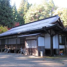
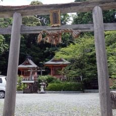
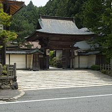
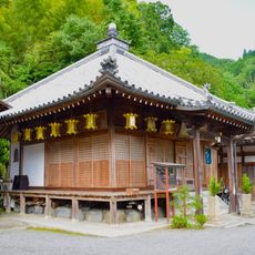
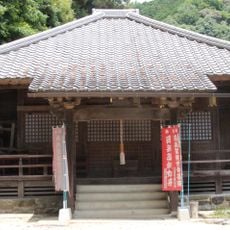
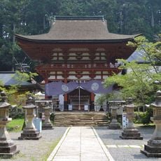
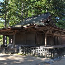
Kōyasan chōishi-michi is a pilgrimage trail through mountain forests with stone markers guiding walkers toward Mount Koya's temple complex. The route passes through varied terrain and connects several starting points at different elevations.

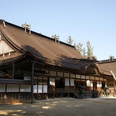
The route was established in the 9th century when a Buddhist monk founded a religious center at Mount Koya and marked the path with stone indicators. This trail has been preserved and maintained through centuries as a key pilgrimage route.

The stone markers along the route carry Buddhist meanings that deepen the spiritual journey of those who walk here. These markers transform the walk into a meditative experience by marking the path forward with purpose.

The walk is physically demanding and requires sturdy footwear for uneven forest ground and steep sections. Bring water and snacks, as few shops or facilities exist along the route.

The stones were placed at precise intervals to guide pilgrims through unmarked forest paths, creating a navigation system that required no other markings. This arrangement proved reliable across many centuries of use.

The community of curious travelers

AroundUs brings together thousands of curated places, local tips, and hidden gems, enriched daily by 60,000 contributors worldwide.

Start exploring
Location
Part of
Sacred Sites and Pilgrimage Routes in the Kii Mountain Range, Kōya Sankeimichi
GPS coordinates
34.25530,135.52580
Latest update
December 8, 2025 19:41
« Kōyasan chōishi-michi - Pilgrimage trail in Ito district, Japan » is provided by Around Us (aroundus.com). Images and texts are derived from Wikimedia project under a Creative Commons license. You are allowed to copy, distribute, and modify copies of this page, under the conditions set by the license, as long as this note is clearly visible.

Discover hidden gems everywhere you go!

From secret cafés to breathtaking viewpoints, skip the crowded tourist spots and find places that match your style. Our app makes it easy with voice search, smart filtering, route optimization, and insider tips from travelers worldwide. Download now for the complete mobile experience.

Around Us App Screenshot

A unique approach to discovering new places

Le Figaro

All the places worth exploring

France Info

A tailor-made excursion in just a few clicks

20 Minutes

Around Us
Travel Guide & Maps
Download

Send to your phone

QR Code
1

Open the camera app on your mobile.

2

Point at the QR code with your camera. A notification will appear.

3

Tap the notification to open the link.