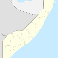
Wajir County, Administrative division in northeastern Kenya
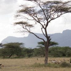
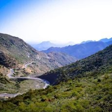
Wajir County is an administrative region in northeastern Kenya that spans semi-arid landscapes and borders Ethiopia, Somalia, and four other Kenyan counties. The territory is divided into six constituencies and forms an important part of the country's pastoral economic zone.
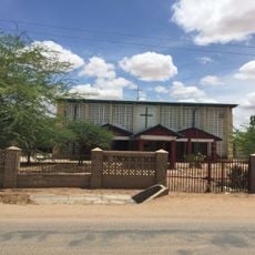
The region was established as an administrative center during British colonial rule in 1912 and has served as a strategic point in the territory's north ever since. This administrative framework laid the foundation for the county's current structure.
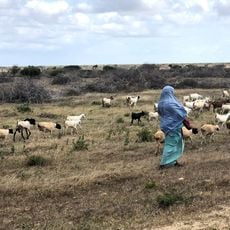
Pastoral communities here have built their way of life around herding camels, goats, and cattle for generations. This tradition shapes how people organize their days and interact with the land around them.
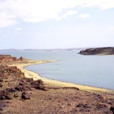
Visiting requires good preparation for semi-arid conditions with extreme heat and limited water availability. A local guide is recommended to explore the area safely and identify the best times to travel.
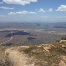
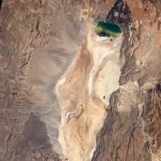
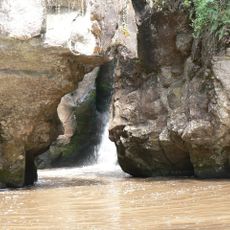
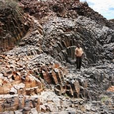
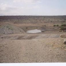
The area receives only about 240 millimeters of rain per year, creating a landscape where seasonal marshes alternate with long dry periods. This extreme dryness shapes how residents have adapted and manage their water sources.
The community of curious travelers
AroundUs brings together thousands of curated places, local tips, and hidden gems, enriched daily by 60,000 contributors worldwide.