
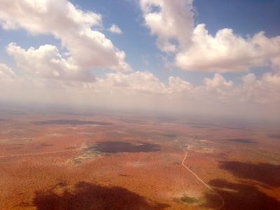
Wajir, city
Location: Wajir County
Elevation above the sea: 1,200 m
GPS coordinates: 1.74722,40.05722
Latest update: March 6, 2025 09:18
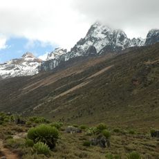
Mount Kenya
371.9 km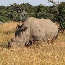
Ol Pejeta Conservancy
391.9 km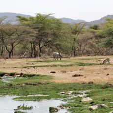
Buffalo Springs National Reserve
304.2 kmLewa Wildlife Conservancy
340.6 km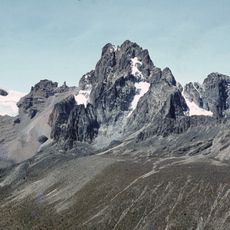
Mount Kenya National Park
367.5 km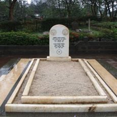
Baden-Powell grave
421.6 km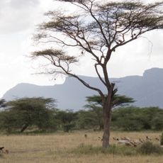
Shaba National Reserve
276 km
Meru National Park
290.4 km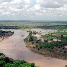
Kora National Park
262.7 km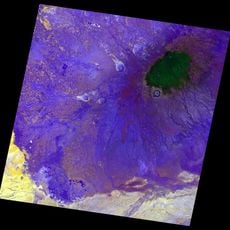
Mount Marsabit
241.8 km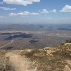
Marsabit National Park
241.4 km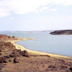
Lake Turkana National Parks
421 km
Kismayo National Park
362.8 km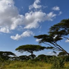
Yabelo Wildlife Sanctuary
397.1 km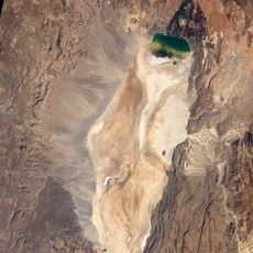
Namarunu
404.4 km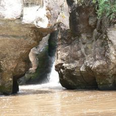
Mau-Mau Cave
413.7 km
South Island
396.9 km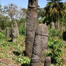
The Gedeo Cultural Landscape
405.7 km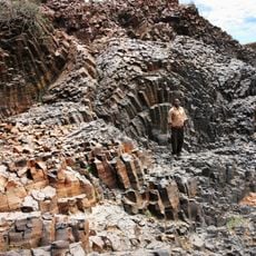
Karsa, Kenya
422.1 km
Wajir Museum
812 m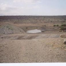
Aqushela
1302.8 km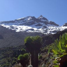
Point Lenana
371 km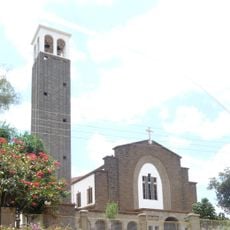
Our Lady of Consolation Cathedral
421.8 km
Segererua Plateau
240.8 km
Lag Badana-Bushbush National Park
377.7 km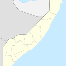
Dheere
370.5 km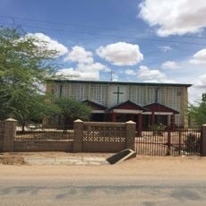
Our Lady of Consolation Cathedral (Garissa)
248.3 km
Baardheere
187.7 kmVisited this place? Tap the stars to rate it and share your experience / photos with the community! Try now! You can cancel it anytime.
Discover hidden gems everywhere you go!
From secret cafés to breathtaking viewpoints, skip the crowded tourist spots and find places that match your style. Our app makes it easy with voice search, smart filtering, route optimization, and insider tips from travelers worldwide. Download now for the complete mobile experience.

A unique approach to discovering new places❞
— Le Figaro
All the places worth exploring❞
— France Info
A tailor-made excursion in just a few clicks❞
— 20 Minutes