Baringo County, Administrative county in central Rift Valley, Kenya.
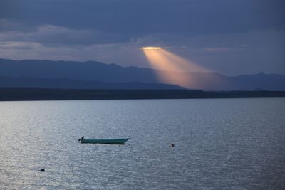
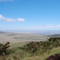
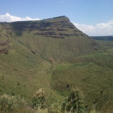
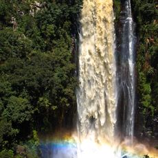
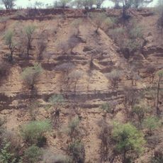
Baringo County is an administrative region in central Kenya's Rift Valley, covering approximately 11,075 square kilometers of diverse terrain. The area contains three major lakes—Baringo, Bogoria, and Kamnarok—that shape the landscape and support local ecosystems.
The county was established on March 4, 2013, as part of Kenya's administrative reorganization that divided the country into 47 new county units. This restructuring fundamentally changed the country's governance and administrative framework.
The region is home to several Kalenjin-speaking groups such as the Tugen, Lembus, Ndorois, and Pokot people, who continue their traditional ways of life and customs today. You can see this cultural continuity reflected in local communities through their languages, crafts, and social practices.
Kabarnet, the county capital, serves as the main administrative hub and contains the primary referral hospital for the entire region. Your visit will be easiest during drier periods, which offer better conditions for exploring, while wetter months bring the lakes and vegetation to life.
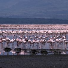
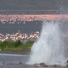
Lake Bogoria within the area is known for its geothermal hot springs and hosts large populations of flamingos year-round. These natural heat sources create special conditions that offer visitors a distinctive natural display.
The community of curious travelers
AroundUs brings together thousands of curated places, local tips, and hidden gems, enriched daily by 60,000 contributors worldwide.