Geography of South Korea, Geographic region in Korean Peninsula, South Korea.
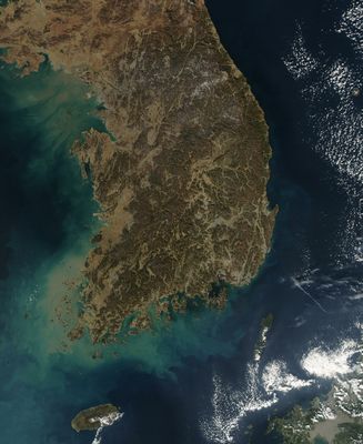
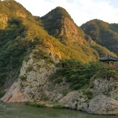
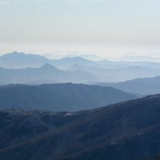
The geography of South Korea covers the southern half of the Korean Peninsula, with shores along the Yellow Sea, East China Sea, and Sea of Japan stretching more than two thousand kilometers. Mountains cover roughly seventy percent of the land, while rivers such as the Nakdong flow through fertile plains.
The division of the peninsula in 1953 created a demilitarized zone along the 38th parallel. This border fundamentally changed land use and development in the southern region.
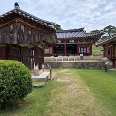
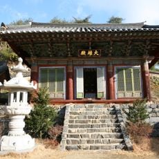
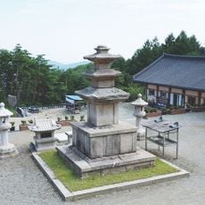
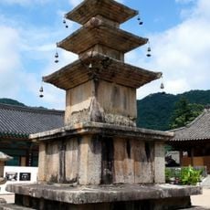
The regional topography of mountain ranges and river basins influenced the development of distinct agricultural practices and food traditions across different provinces.
Mountain trails cross the country from north to south and offer access to different elevations. Coastal areas are well connected by road networks that follow the flatter eastern and western edges.
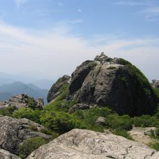
Jeju Island holds the country's highest peak, an extinct volcano rising nearly two thousand meters (over six thousand feet). Its slopes show lava caves and crater lakes that are reminders of past eruptions.
The community of curious travelers
AroundUs brings together thousands of curated places, local tips, and hidden gems, enriched daily by 60,000 contributors worldwide.