Chest opened
+${chestReward.xp} XP
Explorer
NOUVEAU ×${chestReward.collectible.quantity}
tapez pour fermer

See the monuments around you in AR Open chests in the app

Around Us is built for your phone — point your camera at the streets and discover the monuments and places around you in augmented reality. Around Us is built for your phone — chests unlock when you walk, explore and capture nearby places.

•

Enable Location

We need your location to show you interesting places around you

Discover nearby places

Find interesting locations and hidden gems around you

Precise directions

Get accurate directions and distances to places

Your location is never shared with other users. It's only used when you tap the location button.

Hwawangsan

Log in to your account

Start exploring — it's free

Trusted by 93,783 travelers worldwide

Continue with Google
Continue with Apple
or

We will send you a code to connect

By continuing, you accept our Terms and Conditions and our Privacy Policy

Check your inbox

We've sent a pincode in your inbox. Please enter the code below.

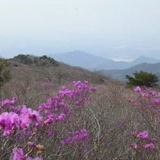
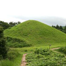
Hwawangsan, Mountain peak in Changnyeong County, South Korea.

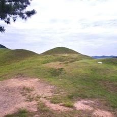
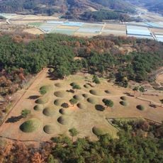
Hwawangsan is a 757-metre mountain in Changnyeong County, South Gyeongsang Province, formed by an ancient volcano whose crater holds three ponds, called yongji. A fortress, Hwawangsanseong (Historic Site No. 64), rings the summit. The mountain was designated a county park on 11 January 1984.

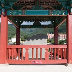
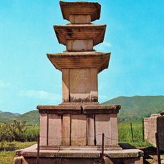
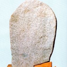
Hwawangsanseong, a fortress on the summit ridge, is Historic Site No. 64. During the Imjin War the righteous army leader Gwak Jae-u used it as a base to repel Japanese forces, and a memorial stele for the victory of the righteous army stands on the mountain.

The name Hwawang combines hwa (fire) and wang (vigorous), taken from the annual burning of dry weeds and rice fields held every January 15. The summit fortress, Hwawangsanseong (Historic Site No. 64), is a standing stone wall, not a ruin. A memorial stele on the mountain honours Gwak Jae-u, who used the fortress against Japanese forces during the Imjin War.

Several hiking trails with varying difficulty levels lead to the summit with clear signs marking the way. Bring sturdy shoes and be prepared for forest conditions, especially if visiting during rainy periods or winter months.

From the hilltop fortress, visitors enjoy wide views of the Nakdonggang river system stretching across the landscape below. On clear days you can see far into surrounding areas, making obvious why this location held such military value in the past.

The community of curious travelers

AroundUs brings together thousands of curated places, local tips, and hidden gems, enriched daily by 93,783 contributors worldwide.

Start exploring
Location
Elevation above the sea
757 m
Part of
100 Noted Mt. in Korea
GPS coordinates
35.54715,128.53169
Latest update
October 31, 2026 20:54
Reviews
Share your experience

No review yet

Discussions
Start a discussion...

No discussion yet

« Hwawangsan - Mountain peak in Changnyeong County, South Korea » is provided by Around Us (aroundus.com). Images and texts are derived from Wikimedia project under a Creative Commons license. You are allowed to copy, distribute, and modify copies of this page, under the conditions set by the license, as long as this note is clearly visible.

Discover hidden gems everywhere you go!

From secret cafés to breathtaking viewpoints, skip the crowded tourist spots and find places that match your style. Our app makes it easy with voice search, smart filtering, route optimization, and insider tips from travelers worldwide. Download now for the complete mobile experience.

Around Us App Screenshot
❝

A unique approach to discovering new places❞

— Le Figaro

❝

All the places worth exploring❞

— France Info

❝

A tailor-made excursion in just a few clicks❞

— 20 Minutes

Around Us
Travel Guide & Maps
Download

Send to your phone

QR Code
1

Open the camera app on your mobile.

2

Point at the QR code with your camera. A notification will appear.

3

Tap the notification to open the link.