Zhambyl District, Administrative district in Almaty Region, Kazakhstan
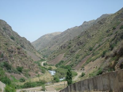
Zhambyl District spreads across varied landscapes ranging from desert plains to mountain ranges, with the administrative center based in Uzynagash settlement. The territory encompasses different elevations and soil types that shape distinct forms of land use throughout the area.
The area was established on January 17, 1928, as part of the Kazak Autonomous Soviet Socialist Republic and fell within the Alma-Ata Okrug territory. This marked the beginning of its formal administrative history within the Soviet system.
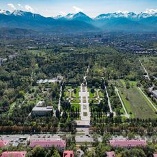
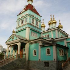
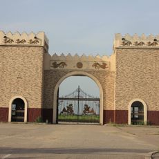
The area is home to mausoleums from the 11th and 12th centuries, including the tombs of Babaji-khatun and Aisha-bibi, which reflect the religious history of the region. These structures are places where visitors can see the past carved in stone.
The district lies at 43.2234°N and 76.313°E and offers visitors different experiences depending on the season due to multiple climate zones. The varying topography requires different means of travel and equipment depending on which regions you wish to explore.
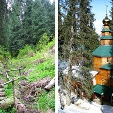
The Khan-tau mountains contain plateaus between the peaks where herding communities keep their traditional way of life and graze livestock at higher elevations. These practices have been passed down through generations and still shape the landscape today.
The community of curious travelers
AroundUs brings together thousands of curated places, local tips, and hidden gems, enriched daily by 60,000 contributors worldwide.