Mannar, town in Sri Lanka
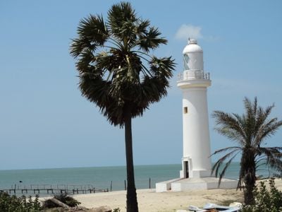
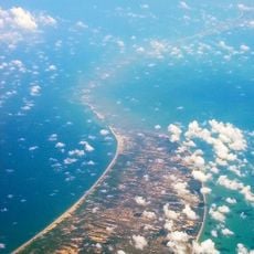
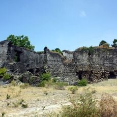
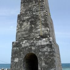
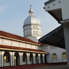
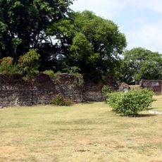
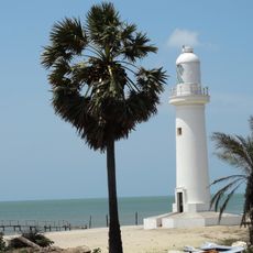
Mannar is a town on an island extending into the Gulf of Mannar, shaped by sand and sea. It has an old fort with thick walls and towers, religious buildings from different periods, distinctive baobab trees, and an active fishing port along the coast.
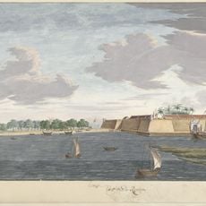
Mannar was known for pearl fishing in ancient times and mentioned in old writings. The fort was originally built by the Portuguese and changed hands between English, Dutch, and other rulers, showing the site's strategic importance.
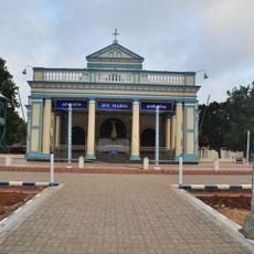
The name Mannar derives from sand, which shapes the land. Churches, Hindu temples, and mosques stand close together throughout the town, reflecting the different communities that have lived here for centuries.
Mannar is connected by train to other parts of Sri Lanka, making travel easier. The weather is warm year-round, with rain mainly between October and December, while the rest of the time is dry and sunny.
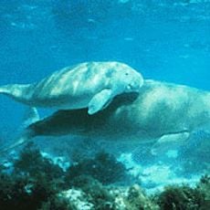
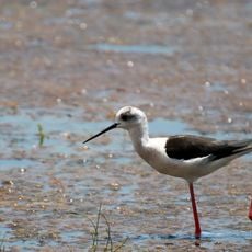
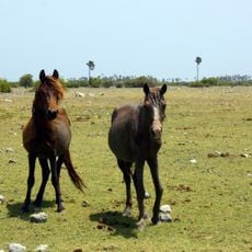
Mannar is known for its rare baobab trees with thick trunks, some over 600 years old. The island also has wild horses roaming freely across wetlands and rocky areas, often seen together with pink flamingos during certain seasons.
The community of curious travelers
AroundUs brings together thousands of curated places, local tips, and hidden gems, enriched daily by 60,000 contributors worldwide.