
Žemaičių Kalvarija, human settlement
Location: Plungė District Municipality
Elevation above the sea: 195 m
GPS coordinates: 56.11667,22.01667
Latest update: April 23, 2025 22:51
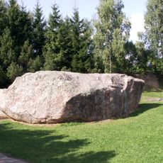
Barstyčiai stone
11.1 km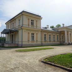
Renavas Manor
12.6 km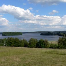
Žemaitija National Park
11.3 km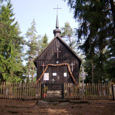
Panų kalnas
6.7 km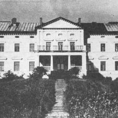
Plinkšės Manor
10 km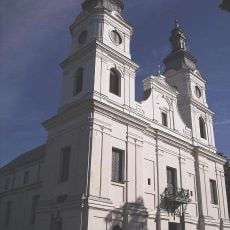
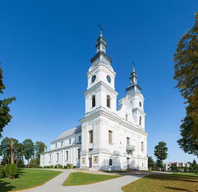
Church of the Visitation, Žemaičių Kalvarija
818 m
Church of the Assumption, Seda
6.9 km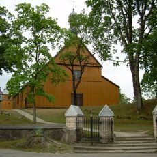
Church of the Immaculate Conception, Alsėdžiai
9.8 km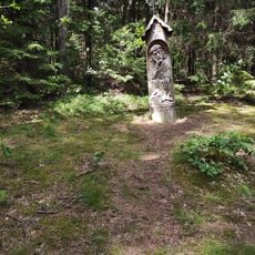
Paplatelė Educational Trail
10.9 km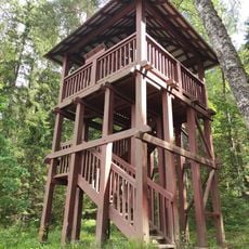
Paplatelė Trail Watchtower
10.9 km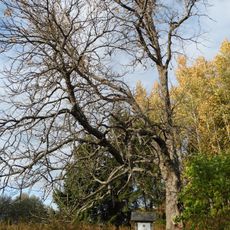
Paparčių kaštonas
6.5 km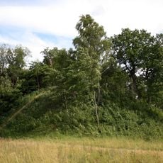
Šarnelė hillfort
4 km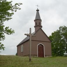
Žemaičių Kalvarijos piliakalnis
1.2 km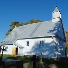
Chapel in Grūstė
9.1 km
Puokės alkakalnis
8.8 km
Gegrėnų piliakalnis
6 km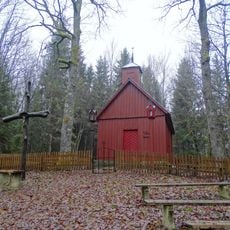
Sorai chapel
6.5 km
Rimoliai hillfort
8.4 km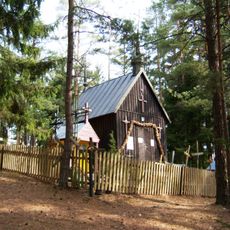
Panų kalnas chapel
6.7 km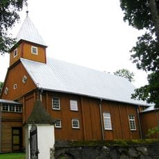
Church of St. Simon and St. Jude Thaddeus the Apostles, Barstyčiai
10.2 km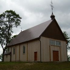
Church of Jesus of Nazareth in Gegrėnai
6.1 km
Pūčkorių 1 hillfort
7.3 km
Girkantų piliakalnis
4.2 km
Žernių piliakalnis
6.2 km
Rotinėnų piliakalnis
5.3 km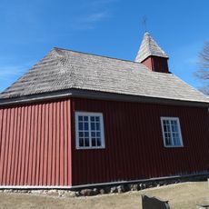
Alsėdžiai cemetery chapel
10.4 km
Pūčkorių 2 hillfort
8.5 km
Alsėdžiai churchyard chapel
9.8 kmReviews
Visited this place? Tap the stars to rate it and share your experience / photos with the community! Try now! You can cancel it anytime.
Discover hidden gems everywhere you go!
From secret cafés to breathtaking viewpoints, skip the crowded tourist spots and find places that match your style. Our app makes it easy with voice search, smart filtering, route optimization, and insider tips from travelers worldwide. Download now for the complete mobile experience.

A unique approach to discovering new places❞
— Le Figaro
All the places worth exploring❞
— France Info
A tailor-made excursion in just a few clicks❞
— 20 Minutes