
Viešintos, human settlement in Lithuania
Location: Anykščiai District Municipality
Elevation above the sea: 110 m
GPS coordinates: 55.68890,24.99170
Latest update: March 7, 2025 15:12

Church of the Holy Trinity, Troškūnai
13.6 km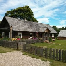
Horse Museum
14.1 km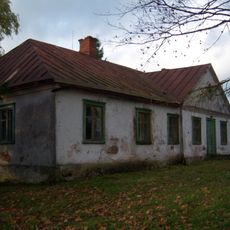
Monastery of the Holy Spirit, Sudergis
11.7 km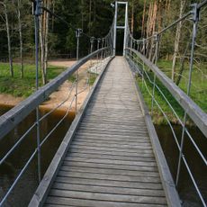
Mikieriai footbridge
12.2 km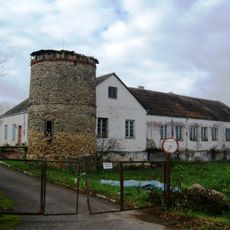
Noriūnai Manor
13.9 km
Palatavys hillfort
11.9 km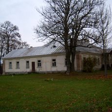
Sedeikiai manor
6.3 km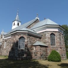
Church of St. Peter and St. Paul, Andrioniškis
10.8 km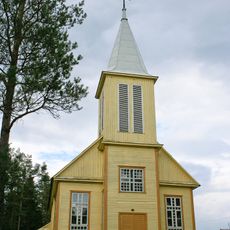
Church of Our Lady of the Gate of Dawn, Inkūnai
12.7 km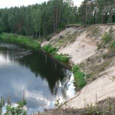
Šventoji Landscape Reserve
13.4 km
Papilių piliakalnis (Anykščiai)
7.4 km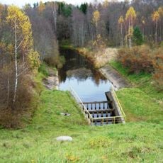
Pelyša Geological Reserve
7.5 km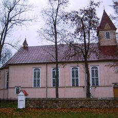
Church of the Assumption, Šimonys
10.8 km
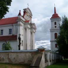
Church of St. Michael the Archangel, Viešintos
50 m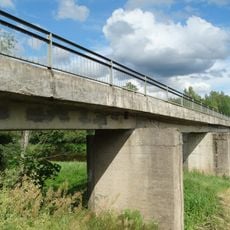
Andrioniškis bridge
11 km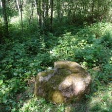
Katinų akmuo
7.1 km
Lašinių piliakalnis (Anykščiai)
10.4 km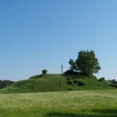
Gaigaliai hillfort, Kupiškis
10.5 km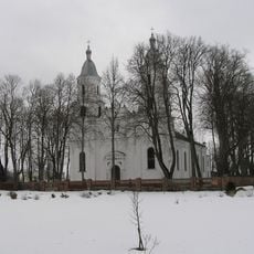
Church of the Holy Trinity, Senasis Subačius
14.3 km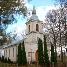
Church of the Assumption of the Blessed Virgin Mary, Surdegis
11.6 km
Stirniškių kurilinis maumedis
14.4 km
Pelyšų tvenkinys
5.5 km
Surdegio Šv. Dvasios cerkvė
11.6 km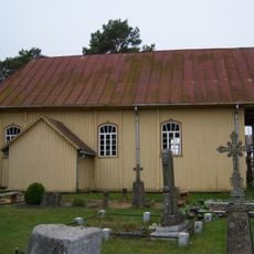
Papiliai Chapel
7.5 km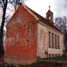
Umėnų koplyčia
11.4 km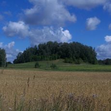
Papiliai hillfort, Kupiškis
12.7 km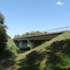
Sedeikiai bridge
8.1 km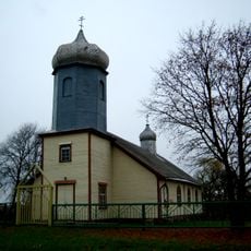
Old Believers Church in Paežeriai
2.2 kmReviews
Visited this place? Tap the stars to rate it and share your experience / photos with the community! Try now! You can cancel it anytime.
Discover hidden gems everywhere you go!
From secret cafés to breathtaking viewpoints, skip the crowded tourist spots and find places that match your style. Our app makes it easy with voice search, smart filtering, route optimization, and insider tips from travelers worldwide. Download now for the complete mobile experience.

A unique approach to discovering new places❞
— Le Figaro
All the places worth exploring❞
— France Info
A tailor-made excursion in just a few clicks❞
— 20 Minutes