
Vištytis Eldership, Seniūnija in Litouwen
Location: Vilkaviškis District Municipality
Capital city: Vištytis
GPS coordinates: 54.45508,22.71207
Latest update: April 10, 2025 10:17
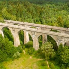
Viaducts in Stańczyki
17.9 km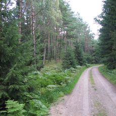
Romincka Forest
15.5 km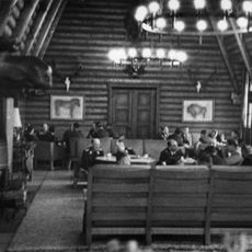
Reichsjägerhof Rominten
14.9 km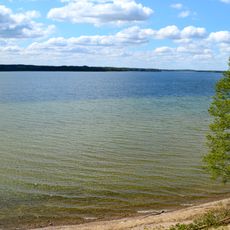
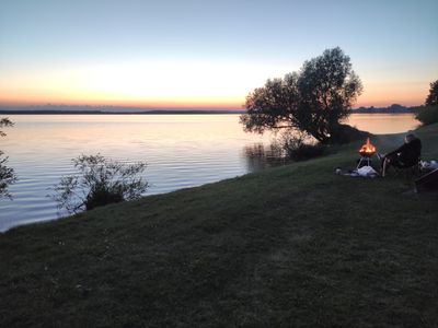
Vištytis
2.8 km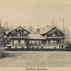
Rominten Hunting Lodge
15.3 km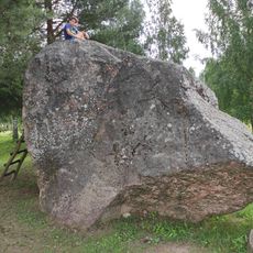
Vištytis Stone
1.8 km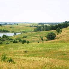
Vištyčio Regional Park
5.2 km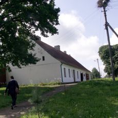
Donelaitis Memorial Museum
18 km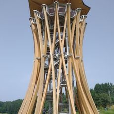
Observation tower in Stańczyki
18.2 km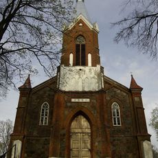
Church of St. Michael the Archangel, Gražiškiai
13.7 km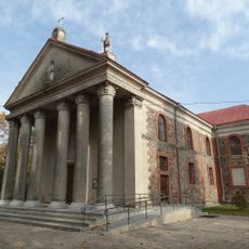
Church of St. John the Baptist, Pajevonys
11.1 km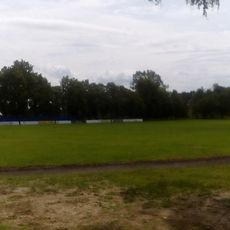
Kybartai stadium
20.4 km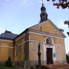
Saint Theresa church in Wiżajny
13.9 km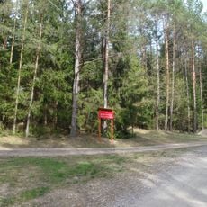
Nature reserve Struga Żytkiejmska
12.7 km
Pajevonio piliakalnis
11.1 km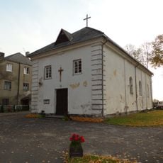
Church of St. Michael the Archangel, Virbalis
20.3 km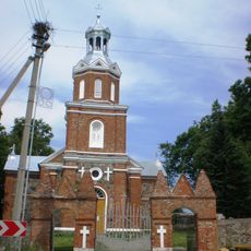
Church of the Holy Trinity, Vištytis
196 m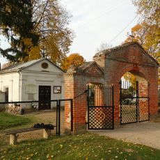
Chapel in Virbalis
20.3 km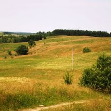
Pavištytis 1st hillfort
6.3 km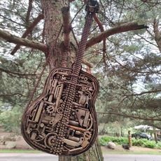
Metalo Fantazijos
3.9 km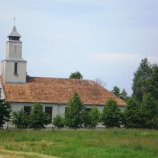
Evangelical Lutheran Church in Vištytis
1.2 km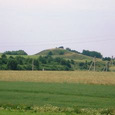
Kaupiškių piliakalnis
9.6 km
Ragaišių piliakalnis
11.1 km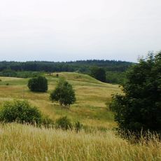
Pavištytis 2nd hillfort
7.2 km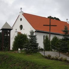
Saint Michael Archangel church in Żytkiejmy
11.1 km
Evangelical cemetery in Stańczyki
18.2 km
World War I Cemetery in Żytkiejmy
10.7 km
Church in Chistye Prudy
18 kmReviews
Visited this place? Tap the stars to rate it and share your experience / photos with the community! Try now! You can cancel it anytime.
Discover hidden gems everywhere you go!
From secret cafés to breathtaking viewpoints, skip the crowded tourist spots and find places that match your style. Our app makes it easy with voice search, smart filtering, route optimization, and insider tips from travelers worldwide. Download now for the complete mobile experience.

A unique approach to discovering new places❞
— Le Figaro
All the places worth exploring❞
— France Info
A tailor-made excursion in just a few clicks❞
— 20 Minutes