Vištytis, Border lake in Marijampolė County, Lithuania and Kaliningrad Oblast, Russia
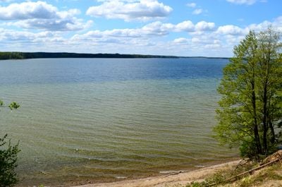
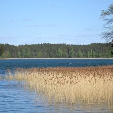
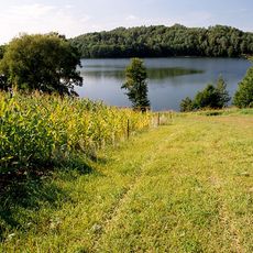
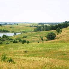
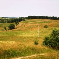
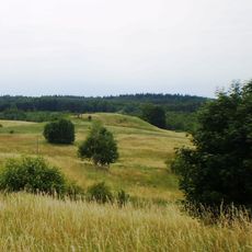
Lake Vištytis is a deep freshwater lake straddling the border between Lithuania to the north and the Kaliningrad Oblast of Russia to the south. Its shores alternate between sandy stretches and wooded slopes, giving the lake a varied and natural edge.
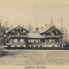
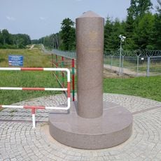
Before World War II, the lake sat on the border between Germany and Lithuania, and the surrounding area was part of the East Prussian region. After the war, the southern shore became Soviet territory, and the current border between Lithuania and Russia was formally agreed in 2003.
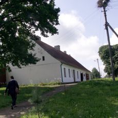
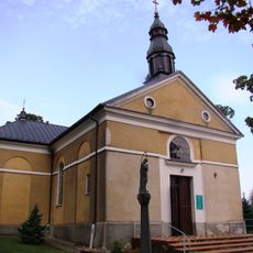
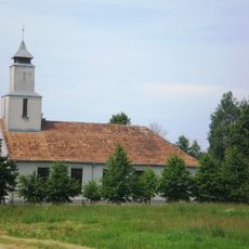
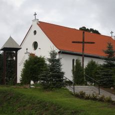
The name of the lake comes from the Lithuanian village that sits on its northern shore. Along the waterfront, fishing remains a common sight, and the border setting gives the place a quiet sense of being between two worlds.
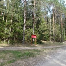
The lake is best reached from the Lithuanian side, starting from the village of Vištytis on the northern shore, where basic facilities are available. The southern portion falls within a Russian border zone, so access there is restricted and requires special permits.
Despite having many inflows, the lake drains through a single outlet, the Pissa River, which eventually feeds into the Pregolya River system in Russia. This means the lake acts as a natural collector for a wide area, which partly explains why it reaches such depth for a lake of its size.
The community of curious travelers
AroundUs brings together thousands of curated places, local tips, and hidden gems, enriched daily by 60,000 contributors worldwide.