Panemunė Regional Park, Regional park along Nemunas River in Kaunas District, Lithuania.
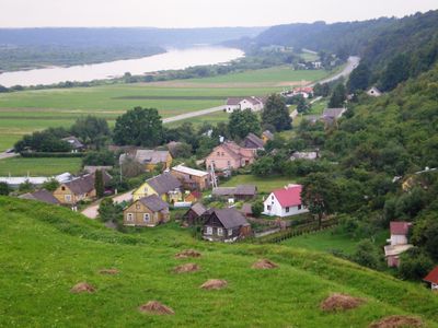
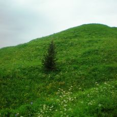
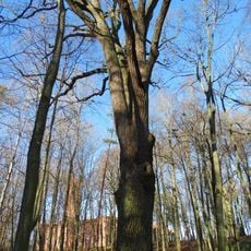
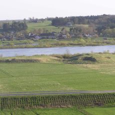
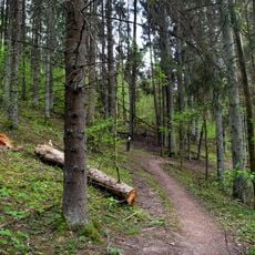
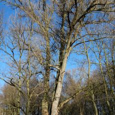
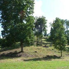
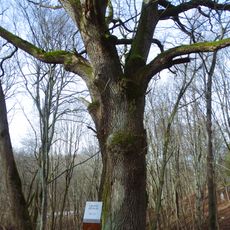
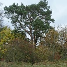
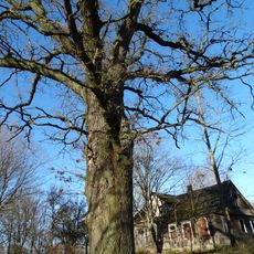
Panemunė Regional Park stretches for around 40 kilometers along steep slopes of the Nemunas River, displaying natural landscapes filled with forests, meadows, and ancient defensive mounds. The territory combines natural features with cultural sites and offers different trails and access points for visitors to explore.
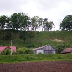
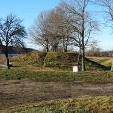
The park holds a substantial defense system built between the 8th and 15th centuries, marking a period of conflict between Lithuanians and crusading forces. These fortifications shaped the land and show why this region held strategic importance during those centuries.
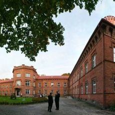
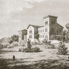
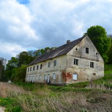
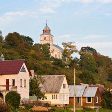
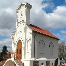
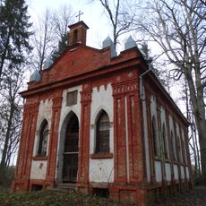
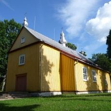
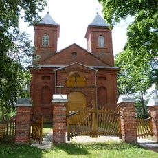
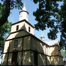
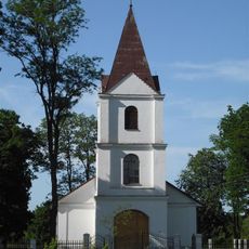
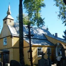
The park contains several manor houses, Renaissance castles, and old churches scattered through its landscape, showing how wealthy families built and changed their homes over time. Walking through the area, you notice how these buildings shaped the local way of living and represented the power of the nobility.
The park has marked trails for hiking, cycling, and kayaking, with information centers available to help you find your way around. Wearing good shoes and having weather-appropriate clothing makes exploring the hilly terrain along the river more comfortable.
The Honey Valley within the park keeps traditional beekeeping practices alive and offers educational programs about local honey production. Visitors can see how bees have been raised in the region for generations.
The community of curious travelers
AroundUs brings together thousands of curated places, local tips, and hidden gems, enriched daily by 60,000 contributors worldwide.