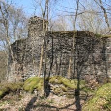
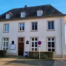
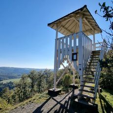
Haut-Martelange Slate Museum, Industrial heritage museum in Rambrouch, Luxembourg.
The Haut-Martelange Slate Museum is a mining museum in a former extraction site that shows how slate was quarried and processed. Underground passages lead down to depths of around 42 meters, where you can see the original working conditions.
Slate extraction began here around 1790 and continued until 1986, with workers manually quarrying and shaping stone. The techniques were passed down over many generations and shape how this craft tradition is understood today.
The place preserves the memory of generations who spent their lives working underground in the slate industry. Visitors encounter people demonstrating traditional splitting techniques and sharing stories from their working years.
Visitors receive helmets for exploring the underground areas and should wear sturdy footwear. Access is only possible with a guide, and some sections may be restricted depending on weather conditions.
The museum grounds include a small rail car that visitors can ride through parts of the facility. This ride gives you a direct sense of how raw materials were transported in the past.
Location: Rambrouch
Website: http://ardoise.lu
GPS coordinates: 49.82476,5.75380
Latest update: December 6, 2025 17:49
Luxembourg brings together castles, nature reserves, and museums in one small country. You will find impressive fortifications like Vianden and Beaufort castles, natural areas like the Ellergronn Nature Reserve, and industrial sites such as the Haut-Martelange Slate Museum. The landscape features...
Upper Sûre Lake
11.7 km
Wahl
11 km
Colpach Castle
9.1 km
Upper Sûre Natural Park
11.7 km
Schuerels Castle
9.2 km
Thillenvogtei
10.9 km
Mill of Surré
9 km
Chapelle de l'Exaltation-de-la-Sainte-Croix
6.4 km
Chapelle Saint-Hubert
6.2 km
Chapelle Saint-Donat
7.7 km
Église Saints-Pierre-et-Paul
760 m
Chapelle Saint-Donat
4.2 km
Monument 385th Bomb Group
1.9 km
Ancienne église Saint-Étienne
8.6 km
Gossemaark LB168
1.4 km
Harlange Church
12 km
Monument vun der 35. Infantriedivisioun
12.6 km
Boundary mark LB 164
858 m
Boundary mark LB 132
10.3 km
Gossemaark LB200
12.6 km
Gossemaark LB202
13.1 km
Géierekräiz
10.1 km
Mairie de Wahl
10.9 km
Tempelskamp
10.8 km
26, Angelsgronn
13.4 km
32, Angelsgronn
13.5 km
Tempelskamp
10.8 km
Visited this place? Tap the stars to rate it and share your experience / photos with the community! Try now! You can cancel it anytime.
Discover hidden gems everywhere you go!
From secret cafés to breathtaking viewpoints, skip the crowded tourist spots and find places that match your style. Our app makes it easy with voice search, smart filtering, route optimization, and insider tips from travelers worldwide. Download now for the complete mobile experience.
A unique approach to discovering new places❞
— Le Figaro
All the places worth exploring❞
— France Info
A tailor-made excursion in just a few clicks❞
— 20 Minutes