Enable Location

We need your location to show you interesting places around you

Discover nearby places

Find interesting locations and hidden gems around you

Precise directions

Get accurate directions and distances to places

Your location is never shared with other users. It's only used when you tap the location button.

Tangier-Tetouan

Log in to your account

Start exploring — it's free

Trusted by 62,960 travelers worldwide

Continue with Google
Continue with Apple
or

We will send you a code to connect

By continuing, you accept our Terms and Conditions and our Privacy Policy

Check your inbox

We've sent a pincode in your inbox. Please enter the code below.

Tangier-Tetouan
Discussion Reviews 1 Photos
10.2k Popularity

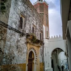
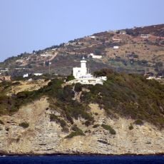
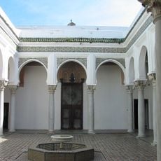
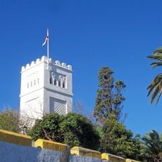
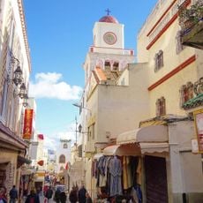
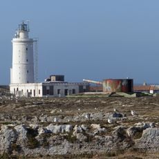
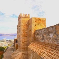
Tangier-Tetouan, Former administrative region in northwestern Morocco

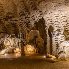
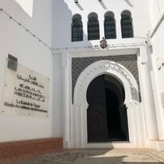
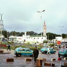
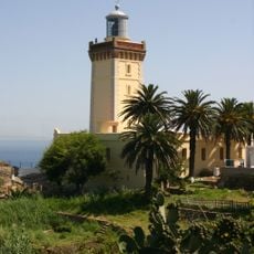
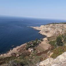
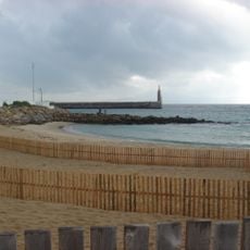
Tangier-Tetouan was an administrative region in northwestern Morocco that stretched along the Atlantic Ocean, Strait of Gibraltar, and Mediterranean Sea. The territory encompassed several provinces situated between the cities of Tangier and Tetouan with varying topography.

The region was established in 1997 as one of Morocco's sixteen administrative divisions and operated as a distinct entity for roughly two decades. In 2015, it merged with Al Hoceima Province to form the new region of Tanger-Tetouan-Al Hoceima.

The region served as an agricultural hub where farmers grew grains, legumes, and olives while raising livestock across the varied landscape. These farming practices shaped daily life and defined how people connected with the land.

The region was connected through a well-developed road network, including the A1 expressway linking Tangier to Rabat. Three commercial airports served different areas and facilitated visitor arrivals throughout the territory.

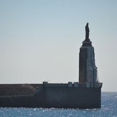
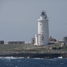
The territory shared a border with the Spanish enclave of Ceuta, a geographic arrangement that shaped trade and cultural exchange. This frontier location gave the region distinct characteristics that set it apart from other Moroccan areas.

The community of curious travelers

AroundUs brings together thousands of curated places, local tips, and hidden gems, enriched daily by 60,000 contributors worldwide.

Start exploring
Location
Capital city
Tangier
GPS coordinates
35.76667,-5.80000
Latest update
December 10, 2025 15:55
Reviews
Share your experience

No review yet

Discussions
Start a discussion...

No discussion yet

« Tangier-Tetouan - Former administrative region in northwestern Morocco » is provided by Around Us (aroundus.com). Images and texts are derived from Wikimedia project under a Creative Commons license. You are allowed to copy, distribute, and modify copies of this page, under the conditions set by the license, as long as this note is clearly visible.

Discover hidden gems everywhere you go!

From secret cafés to breathtaking viewpoints, skip the crowded tourist spots and find places that match your style. Our app makes it easy with voice search, smart filtering, route optimization, and insider tips from travelers worldwide. Download now for the complete mobile experience.

Around Us App Screenshot

A unique approach to discovering new places

Le Figaro

All the places worth exploring

France Info

A tailor-made excursion in just a few clicks

20 Minutes

Around Us
Travel Guide & Maps
Download

Send to your phone

QR Code
1

Open the camera app on your mobile.

2

Point at the QR code with your camera. A notification will appear.

3

Tap the notification to open the link.