Zagora, Town in Morocco
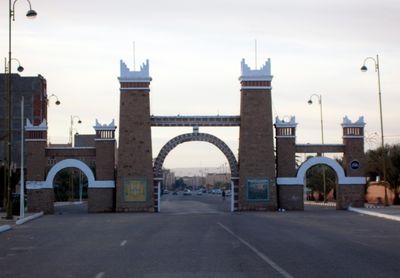
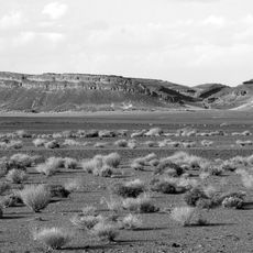
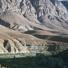
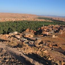
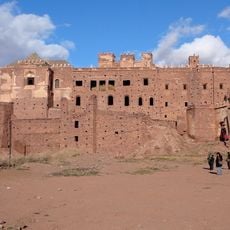
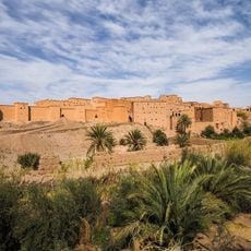
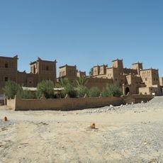
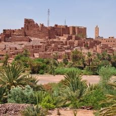
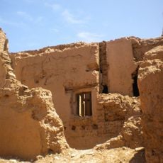
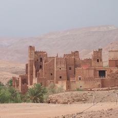
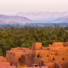
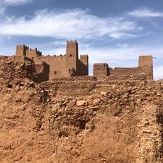
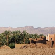
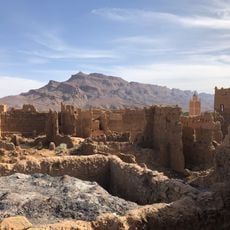
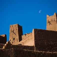
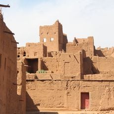
Zagora is a city in southeastern Morocco located in Zagora Province, characterized by desert landscapes. It is surrounded by sand dunes, rocky hills, and green oases, and features traditional kasbahs and palaces with geometric designs connected by high staircases or narrow corridors.
Zagora was mentioned in historical sources from the twelfth century and was home to Kushite and Jewish communities in the Draa Valley. The first settlement developed on the northern slope of Zagora Mountain, where the ancient Tazakurt fortress stood, around which the modern city later grew.
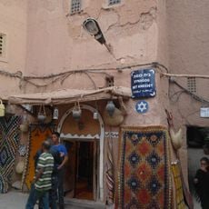
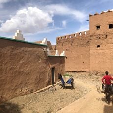
Zagora's name comes from Amazigh roots, possibly meaning a small tree or treasure, reflecting local identity. The city displays a blend of Amazigh art and Islamic decoration in its buildings, with craft markets serving as vibrant centers of daily life and local craftsmanship.
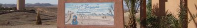
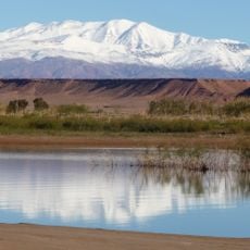
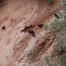
Visitors can explore oases and gardens just a short walk from the city center. Camel rides through the Sahara dunes are a popular activity, and the city serves as a good base for exploring the surrounding desert vegetation and wildlife.
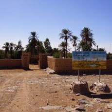
Tamkrot is a site in Zagora founded by Sheikh Sidi Ahmed Ibn Nasser al-Nasiri that served as a learning center for Quranic study, astronomy, and engineering, as well as shelter for travelers and a hospital. The annual Moussem of Moulay Abdelkader Jilali draws visitors from across Africa with Sufi musicians performing traditional music.
The community of curious travelers
AroundUs brings together thousands of curated places, local tips, and hidden gems, enriched daily by 60,000 contributors worldwide.