
Lărguța, village in Cantemir District, Moldova
Location: Cantemir District
Elevation above the sea: 229 m
GPS coordinates: 46.30500,28.31917
Latest update: March 12, 2025 07:47
Lunca Joasă a Prutului Inferior Natural Park
29.8 km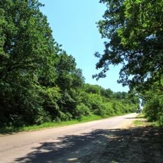
Codrii Tigheci
3.9 km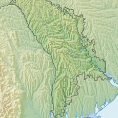
Комратское водохранилище
26.5 km
Конгазьке водосховище
30.1 km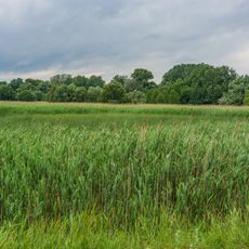
Lebăda albă
21.7 km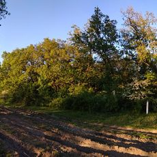
Baurci
30.3 km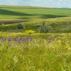
Bugeac
30.3 km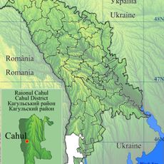
Cahul
29.8 km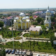
Saint John the Baptist Cathedral in Comrat
26 km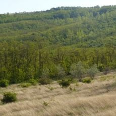
Ciobalaccia
17.2 km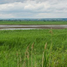
Cantemir
12.4 km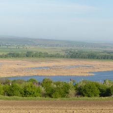
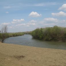
Antonești riverside
10 km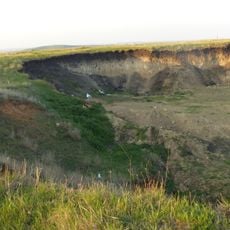
Cociulia excavation site
8.8 km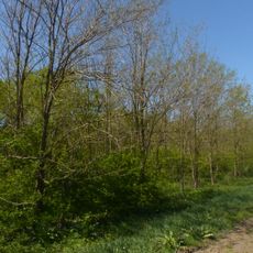
Liceul Bolgrad
26.3 km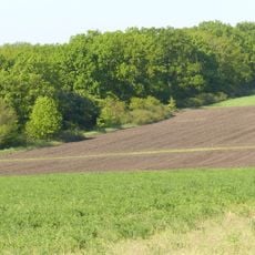
Chioselia
16.4 km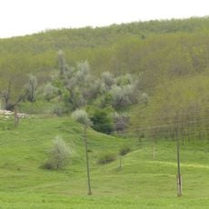
Geological section in the valley of Ialpug
27.8 km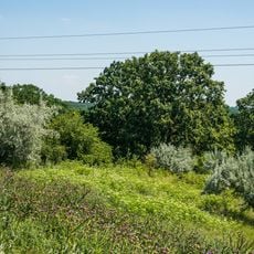
Ostianova
23.9 km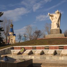
World War II memorial in Comrat
25.6 km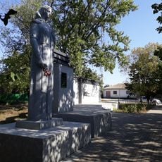
Monument la mormântul comun al ostașilor căzuți în 1944
6.8 km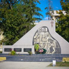
World War II memorial in Leova
20 km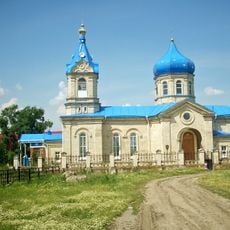
Biserica „Sf. Treime”
26.8 km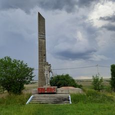
World War II memorial in Beșalma, Gagauzia
29.3 km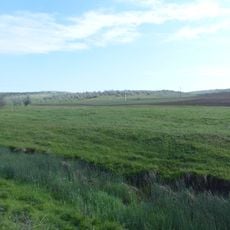
Steppe region in northern Bugeac
26.4 km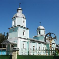
St. Paraskeva church in Leova
20.1 km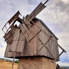
Windmill in Beșalma
30 km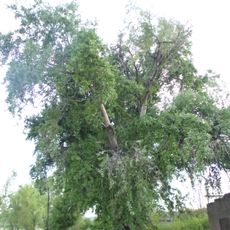
Populus alba
7.9 km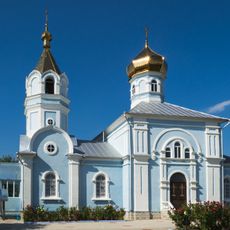
Saint George church in Beșalma, Gagauzia
29.3 km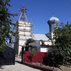
Biserica „Sf. Arhanghel Mihail”
9.4 kmReviews
Visited this place? Tap the stars to rate it and share your experience / photos with the community! Try now! You can cancel it anytime.
Discover hidden gems everywhere you go!
From secret cafés to breathtaking viewpoints, skip the crowded tourist spots and find places that match your style. Our app makes it easy with voice search, smart filtering, route optimization, and insider tips from travelers worldwide. Download now for the complete mobile experience.

A unique approach to discovering new places❞
— Le Figaro
All the places worth exploring❞
— France Info
A tailor-made excursion in just a few clicks❞
— 20 Minutes