Timbuktu, UNESCO World Heritage Site in Tombouctou Region, Mali.
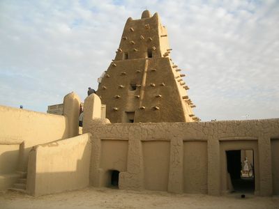
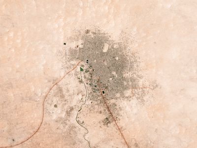
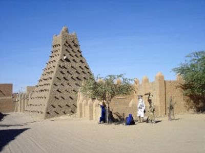
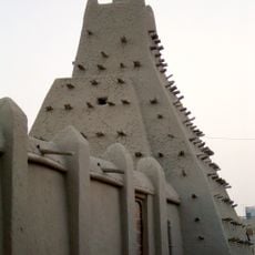
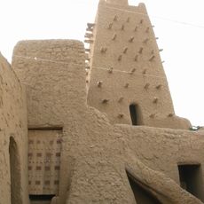
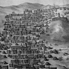
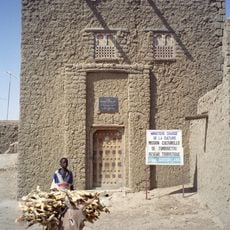
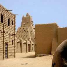
Timbuktu is a settlement in Timbuktu Region, Mali, spreading across sandy ground near a river bend where mud-brick buildings with flat roofs form residential and commercial zones. Narrow alleys wind between walled compounds, and three mosques with protruding timber beams rise above the rooftops, while library buildings house climate-controlled rooms for manuscript collections and the outskirts fade into open desert with scattered vegetation along seasonal streams.
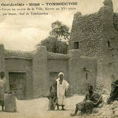
Nomads used this spot as a seasonal camp during the 11th century, and it grew into a permanent settlement as trade routes crossing the desert expanded. After returning from pilgrimage in 1324, Mansa Musa commissioned new mosques built by architects from distant cities, and later Moroccan forces took control, which scattered many scholars who had lived here.
Local traders gather daily at the marketplace, selling goods much as caravans did centuries ago when nomadic groups met farmers coming from the river. Families who own manuscripts invite specialists into their homes to repair fragile pages, often offering tea while explaining how each volume passed through many generations and how they protect these books from heat and sand.
Flights connect through Bamako, and visitors should check security conditions before traveling, while guided tours run from November through February when daytime temperatures stay between 20 and 30 degrees Celsius. Entering mosques requires covered shoulders and legs, and local guides offer walking tours lasting around two hours through manuscript centers and residential areas, with simple lodging near the marketplace and meals available from vendors.
Private family collections hold letters between scholars from the 16th century discussing optics, surgical methods, and legal questions, kept in leather cases and passed down through generations. One manuscript records detailed observations of a lunar eclipse in 1495 with calculations predicting its duration within minutes of modern measurements, and restorers still use traditional plant fibers and camel leather when repairing pages.
The community of curious travelers
AroundUs brings together thousands of curated places, local tips, and hidden gems, enriched daily by 60,000 contributors worldwide.