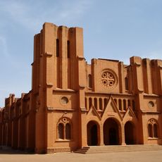
Timbuktu Region, Administrative region in northern Mali
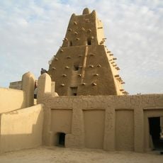
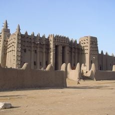
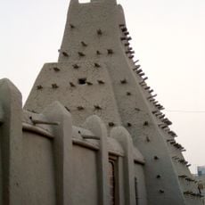
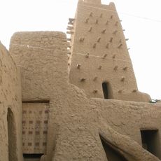
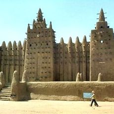
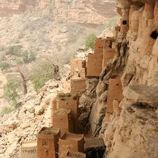
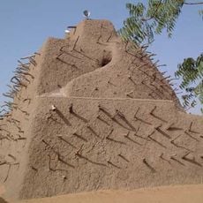
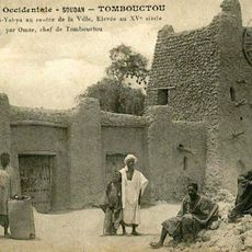
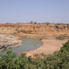
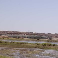
Timbuktu Region is an administrative area in northern Mali that spreads across sandy and rocky plains near the Sahara. The Niger River runs through parts of the region, creating fertile zones where farming happens alongside the desert landscape.
The region took its current administrative shape in 1977 when authorities separated the western portion of Gao Region into a distinct territory. This reorganization reflected central government efforts to manage large areas more effectively.
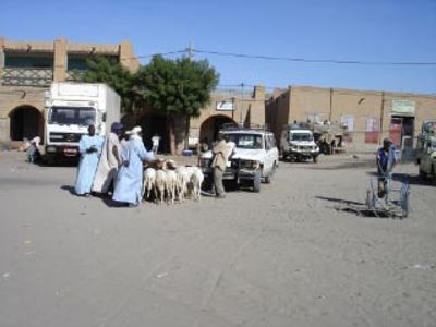
Tuareg and Moor communities occupy the desert regions, while Songhai and Fulani peoples live along the Niger River valley. Each group maintains distinct customs, languages, and ways of living that shape how they work and interact within their respective landscapes.
The terrain is dry and requires preparation for heat and limited infrastructure, especially when traveling away from the Niger valleys. Local guides are useful for understanding different zones where salt trade and farming happen in separate areas.
The salt mines of Taoudenni supply the region through camel caravans, a trading method that has continued for centuries. This ancient system of transport still connects the most remote desert areas to towns in a way that has barely changed.
The community of curious travelers
AroundUs brings together thousands of curated places, local tips, and hidden gems, enriched daily by 60,000 contributors worldwide.