
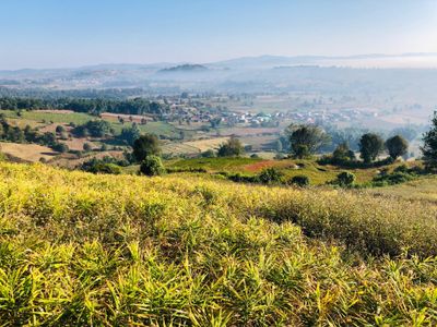
Kalaw, human settlement in Myanmar
Location: Kalaw Township
Elevation above the sea: 1,320 m
GPS coordinates: 20.63333,96.56667
Latest update: April 7, 2025 21:13
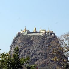
Popa Hill
140.4 km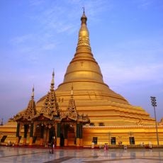
Uppatasanti Pagoda
104 km
Presidential Palace, Naypyidaw
107.1 km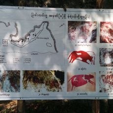
Padah-Lin Caves
58.9 km
Wunna Theikdi Stadium
109.4 km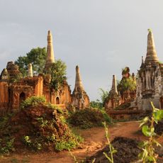
Shwe Indein Pagoda
34.4 km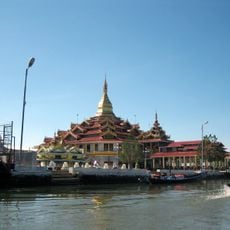
Hpaung Daw U Pagoda
37.9 km
Naypyidaw Zoological Gardens
91.6 km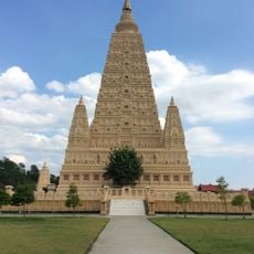
Thatta Thattaha Maha Bawdi Pagoda
86 km
Naypyidaw Water Fountain Garden
109 km
Taunggyi Stadium
51.6 km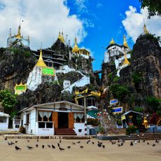
တောင်ကွဲစေတီတော်
126.7 km
Naypyidaw Safari Park
90.9 km
National Herbal Park
109.4 km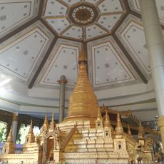
Mahar Shwe Thein Daw Pagoda
121.4 km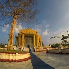
Maha Thetkya Yanthi Buddha
96 km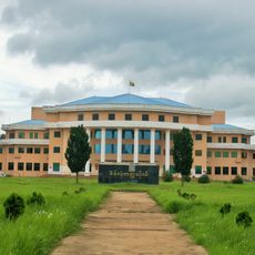
Panglong University
109.2 km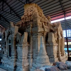
Tamote Shinpin Shwegugyi Temple
124.3 km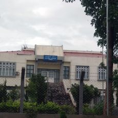
Kayah State Cultural Museum
124.4 km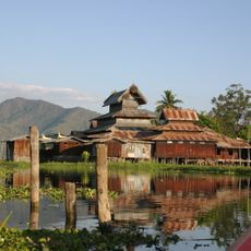
Nga Phe Kyaung Monastery
36.9 km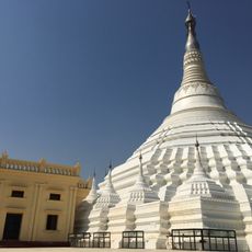
Myamyinzu Pagoda
93.8 km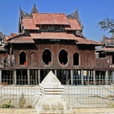
Shwe Yan Pyay
38.4 km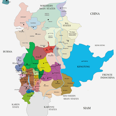
Kyawkku
134.9 km
Kyewa Pagoda
88.8 km
Inn Paw Khon
40.2 km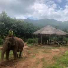
Green Hill Valley Elephant Camp
12.9 km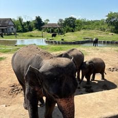
Zoological Garden
91.2 km
Tagundaing Tank
94.4 kmReviews
Visited this place? Tap the stars to rate it and share your experience / photos with the community! Try now! You can cancel it anytime.
Discover hidden gems everywhere you go!
From secret cafés to breathtaking viewpoints, skip the crowded tourist spots and find places that match your style. Our app makes it easy with voice search, smart filtering, route optimization, and insider tips from travelers worldwide. Download now for the complete mobile experience.

A unique approach to discovering new places❞
— Le Figaro
All the places worth exploring❞
— France Info
A tailor-made excursion in just a few clicks❞
— 20 Minutes