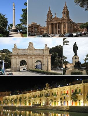
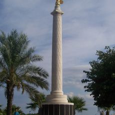
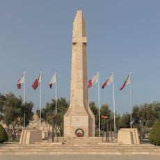
Floriana, town in Malta
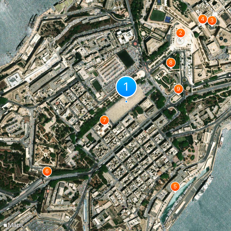
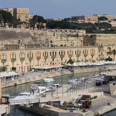
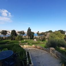
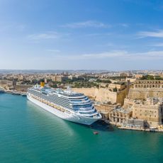
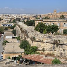
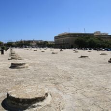
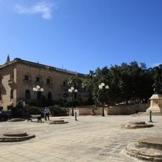
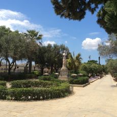
Floriana is a town in the Port Region located right next to Valletta by the harbor. It spreads across flat ground with a mix of older and newer residential buildings.
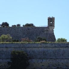
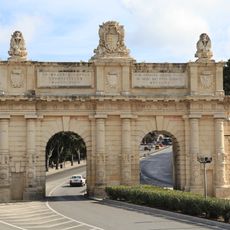
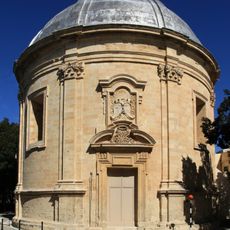
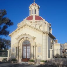
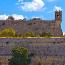
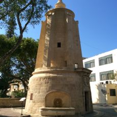
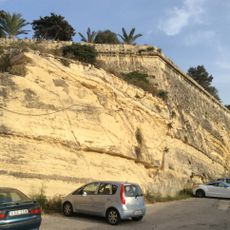
The town was founded in 1600 as a residential area for people who wanted to live outside Valletta. It grew into an important settlement in the immediate surroundings of the capital.
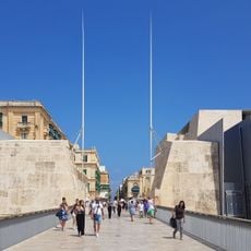
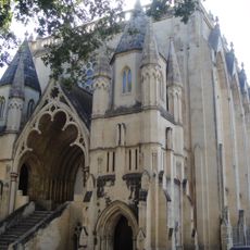
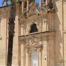
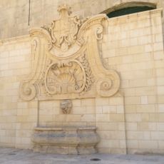
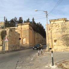
Floriana was built as a planned town and this shows in how it is laid out today. The streets run in straight lines and the buildings reflect the style of the period when it was established.
The town is easy to walk through and quickly reached from Valletta. It has both narrow side streets and wider roads where you can move around freely.
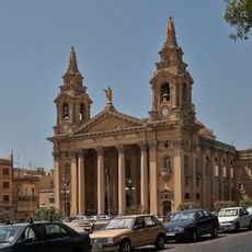
The town is named after Pope Clement XI who founded it during his reign. This choice of name shows the religious importance that was intended for the place at its founding.
The community of curious travelers
AroundUs brings together thousands of curated places, local tips, and hidden gems, enriched daily by 60,000 contributors worldwide.