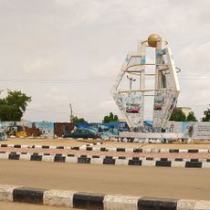
Gwoza, Local government area in southeastern Borno State, Nigeria
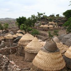
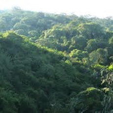
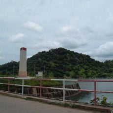
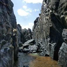
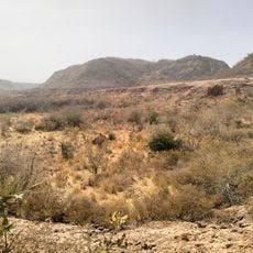
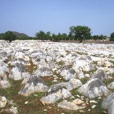
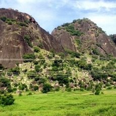
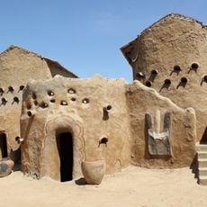
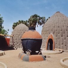
Gwoza is a local government area in southeastern Borno State near the Cameroon border, covering roughly 2,883 square kilometers. The landscape is defined by the Mandara Mountains, which reach elevations of about 1,300 meters (4,265 feet).
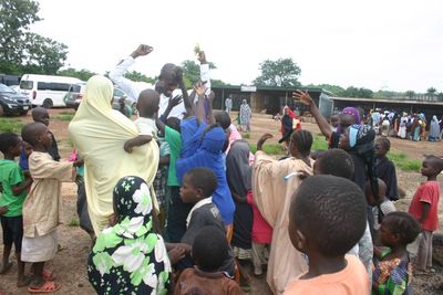
The area experienced major conflict in 2014 when armed groups took control, causing widespread displacement of residents. The consequences of this period continue to affect the region today.
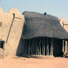
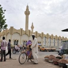
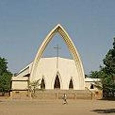
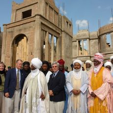
The area is home to several ethnic groups who maintain traditional leadership structures centered on the Emir. These institutions continue to shape community life and social organization today.
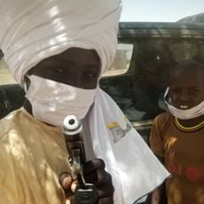
The area has security checkpoints in place that conduct screening procedures for all visitors. Conditions change regularly, so it is advisable to check for current information before traveling.
The Gwoza Hills form natural elevations along the Nigeria-Cameroon border and create distinctive geographical features that shape the landscape. These topographic characteristics have historically influenced movement routes and patterns in the region.
The community of curious travelers
AroundUs brings together thousands of curated places, local tips, and hidden gems, enriched daily by 60,000 contributors worldwide.