Lopik, Administrative municipality in Utrecht province, Netherlands
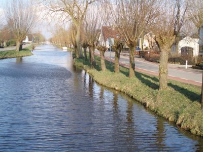
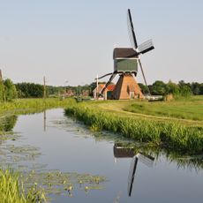
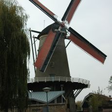
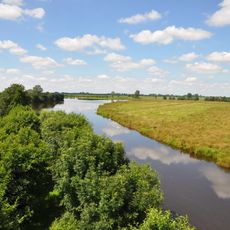
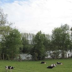
Lopik is a municipality in Utrecht that stretches along the Lek river, characterized by agricultural land, small villages, and a network of drainage canals throughout. The flat terrain is typical of Dutch river regions with their organized field patterns and water management systems.
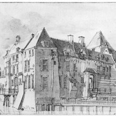
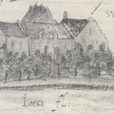
The area was transformed from swampland into cultivated territory starting in the 11th century, with its earliest written mention as Lobeke in 1155. Drainage and agriculture then shaped the region's development for centuries.
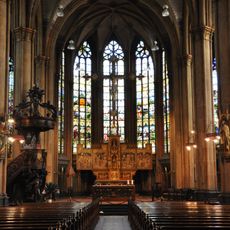
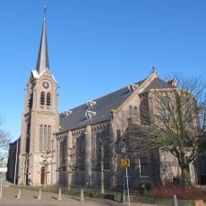
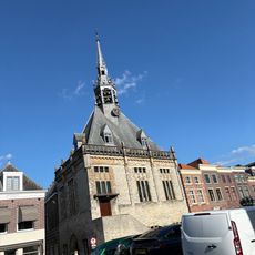
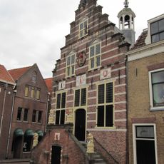
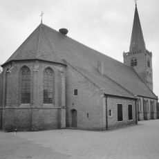
The smaller villages like Benschop and Jaarsveld shape daily life and celebrations through their local customs and gatherings. Visitors can experience these traditions at community events and see how residents use their public spaces.
The area is connected by Syntus bus services to railway stations in Gouda and Woerden for broader travel options. The local roads work well for cycling, which is a common way to move around in this flat landscape.
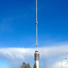
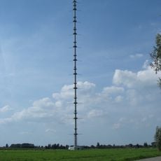
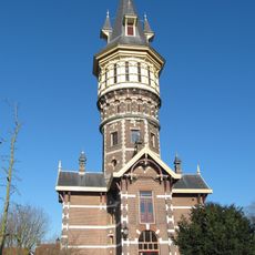
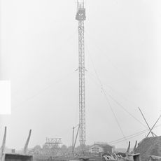
The Gerbrandy Tower in this area is the highest structure in the Netherlands and serves as a broadcasting facility. Its remarkable height makes it a notable landmark, even though it appears understated from the outside.
Location: Utrecht
Capital city: Lopik
Elevation above the sea: 0 m
Shares border with: Zederik, Vlist
Phone: +31348559955
Email: gemeente@lopik.nl
Website: https://lopik.nl
GPS coordinates: 51.97220,4.94640
Latest update: December 10, 2025 15:53
Gerbrandy Tower
8.5 km
Waag, Oudewater
7.6 km
Nicolaaskerk
8.7 km
Sint-Nicolaasbasiliek
8.3 km
Kasteel IJsselstein
8.5 km
Bonrepas
7 km
KNMI-mast Cabauw
1.4 km
Huis te Vliet, Oudewater
8 km
Grote of Sint-Bartholomeuskerk
7.2 km
Veerpoort
7.2 km
Grote of Sint-Michaëlskerk
7.6 km
Nederlands Zilvermuseum Schoonhoven
7.1 km
RK Sint Bartholomeuskerk
6.9 km
De Windotter
8.3 km
Huis te Vliet
7.1 km
Schoonhoven water tower
7.4 km
Kasteel Veldenstein
2.2 km
Graftombe van de heren van IJsselstein
8.7 kmZevender
4.7 km
Zendmast bij het Paardenveld
8.5 km
Stadhuis (Schoonhoven)
7.1 km
Oudewater town hall
7.5 km
Sint-Franciscuskerk
7.4 km
Touwmuseum De Baanschuur, Oudewater
7.7 km
Havenkazerne Schoonhoven
7 km
Nederlands Hervormde Kerk, Ameide
2 km
Natuurgebied Willeskop
5.1 km
Achthoven
3 kmVisited this place? Tap the stars to rate it and share your experience / photos with the community! Try now! You can cancel it anytime.
Discover hidden gems everywhere you go!
From secret cafés to breathtaking viewpoints, skip the crowded tourist spots and find places that match your style. Our app makes it easy with voice search, smart filtering, route optimization, and insider tips from travelers worldwide. Download now for the complete mobile experience.
A unique approach to discovering new places❞
— Le Figaro
All the places worth exploring❞
— France Info
A tailor-made excursion in just a few clicks❞
— 20 Minutes