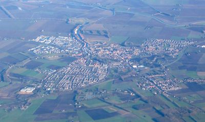
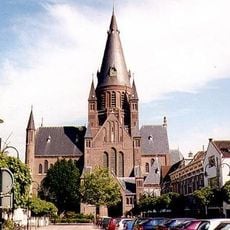
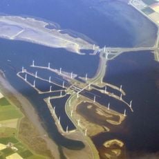
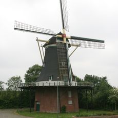
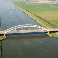
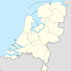
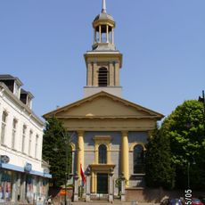
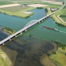
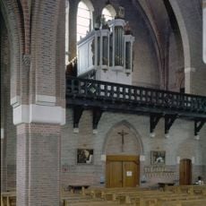
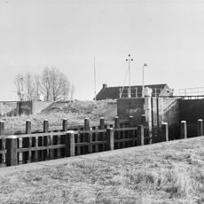
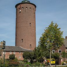
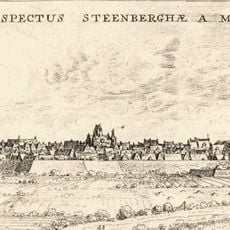
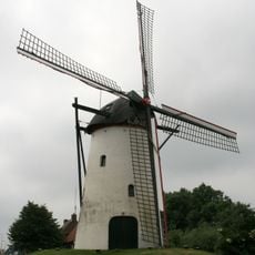
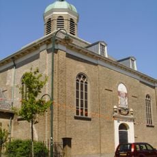
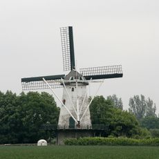
Steenbergen, municipality in the Netherlands
Location: North Brabant
Capital city: Steenbergen
Elevation above the sea: 1 m
Shares border with: Moerdijk, Halderberge, Roosendaal, Tholen, Bergen op Zoom
Email: info@gemeente-steenbergen.nl
Website: https://gemeente-steenbergen.nl
GPS coordinates: 51.58333,4.25000
Latest update: March 6, 2025 12:53
Volkerak
8.2 km
Sint-Gummaruskerk
4.7 km
Krammer
9.1 km
Fort Henricus
4.3 km
Benedensas
4.8 km
Assumburg
2.6 km
Dintelse Gorzen
6 km
Slaakbrug
5.1 km
Oudland
5.7 km
Nederlands Hervormde Kerk, Steenbergen
5 km
Vossemeersebrug
3.4 km
Petrus- en Pauluskerk, Dinteloord
10.4 km
Dintelsas
11.5 km
Nieuwe watertoren
5.6 km
Sint-Jacobskerk
5 km
Stampersgat watertower
13.8 km
Hervormde kerk
4 km
Sint-Gregoriuskerk
10.9 km
Gemaal Drie Groote Polders
3.6 km
De Vos
2.2 km
Nederlands Hervormde Kerk (Dinteloord)
10.3 km
Gibson en Warwickmonument
4.9 km
De Jager
4.1 km
Willibrorduskerk
3.9 km
Ambachtshuis
3.9 km
Nederlands Hervormde Kerk, Kruisland
11 km
Johannes de Doperkerk
2.4 km
Sint-Antonius van Paduakerk
4.2 kmReviews
Visited this place? Tap the stars to rate it and share your experience / photos with the community! Try now! You can cancel it anytime.
Discover hidden gems everywhere you go!
From secret cafés to breathtaking viewpoints, skip the crowded tourist spots and find places that match your style. Our app makes it easy with voice search, smart filtering, route optimization, and insider tips from travelers worldwide. Download now for the complete mobile experience.
A unique approach to discovering new places❞
— Le Figaro
All the places worth exploring❞
— France Info
A tailor-made excursion in just a few clicks❞
— 20 Minutes