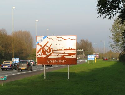
Groene Hart, Rural landscape between Amsterdam, Rotterdam, The Hague and Utrecht, Netherlands
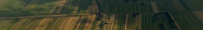
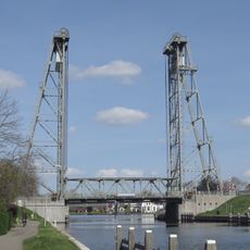
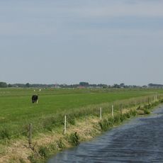
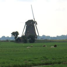
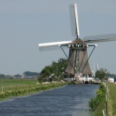
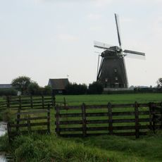
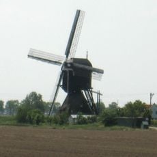
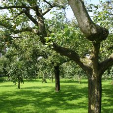
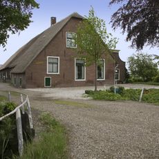
The Groene Hart is a rural landscape between Amsterdam, Rotterdam, The Hague and Utrecht featuring meadows, lakes, and wetlands that form a natural zone within the Randstad megacity. The area consists of flat terrain intersected by waterways, creating a patchwork of green fields and open water.
The region remained largely undeveloped since the Dutch Golden Age because wetland and peat conditions made settlement difficult. This preservation allowed it to become an important agricultural zone where peat extraction shaped the landscape for centuries.
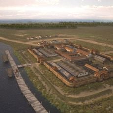
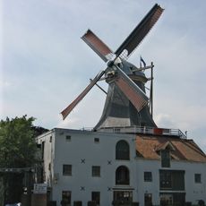
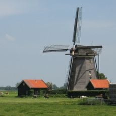
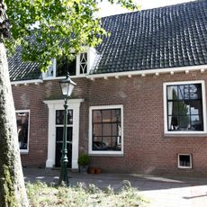
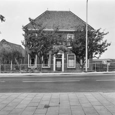
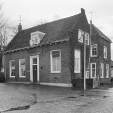
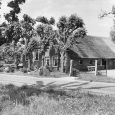
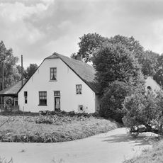
The region displays traditional Dutch elements like functioning windmills, working dairy operations, and historic fortified villages with their original defensive walls still visible. You can sense the deep connection between local communities and their waterlands, a heritage that shapes daily life here.
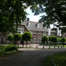
The area features an extensive network of cycling and walking paths connecting various lakes and natural areas throughout the region. The flat terrain and well-maintained routes make exploration by bike or on foot easily accessible to visitors of different abilities.
The area serves as a critical stopover for migratory waterfowl species traveling thousands of miles during seasonal movements. Protected wetlands here provide essential rest and feeding grounds for birds that rely on this corridor for survival.
The community of curious travelers
AroundUs brings together thousands of curated places, local tips, and hidden gems, enriched daily by 60,000 contributors worldwide.