Lek, River system in South Holland and Utrecht, Netherlands
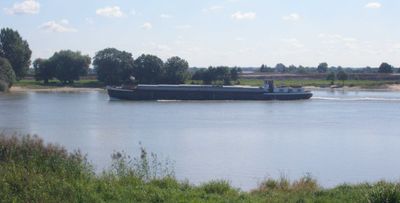
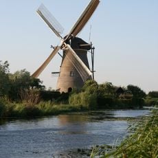
The Lek is a river channel in the Rhine-Meuse delta region that flows for about 62 kilometers and ranges from 180 to 330 meters wide. It runs from Wijk bij Duurstede in the southeast toward Krimpen aan de Lek in the west, passing through diverse countryside and towns.
In 1122, the Lek became the main Rhine channel after a dam was built at Wijk bij Duurstede, redirecting the river's original course. This shift made it one of the region's primary trade routes.
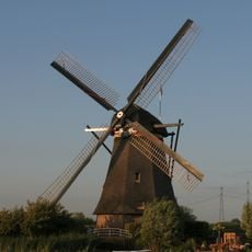
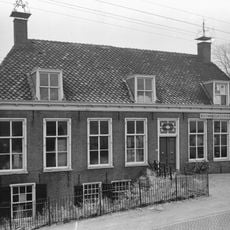
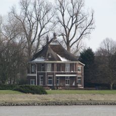
The riverbanks are lined with towns like Culemborg, Vianen, and Schoonhoven that have built their identity around water and trade. These communities still reflect their seafaring past in daily life and local crafts.
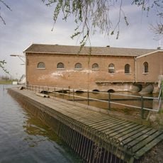
The river functions as a main shipping route between Rotterdam and Germany, with the Hagestein lock complex managing water levels for vessels. You can explore the area best from the riverbanks, where walking and cycling paths run alongside the water.
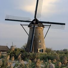
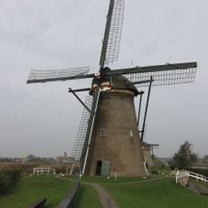
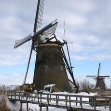
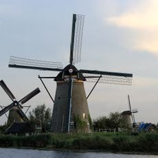
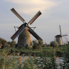
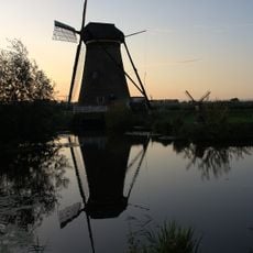
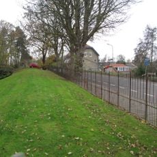
The riverbed sits higher than the surrounding land, requiring an extensive system of dikes and flood plains to protect neighboring communities. This geographic feature shapes the landscape today and shows how people have adapted to living alongside water for centuries.
The community of curious travelers
AroundUs brings together thousands of curated places, local tips, and hidden gems, enriched daily by 60,000 contributors worldwide.