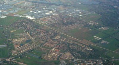
Lansingerland, municipality in the Netherlands
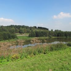
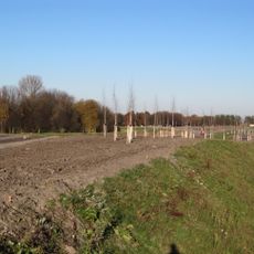
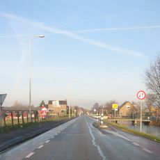
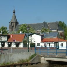
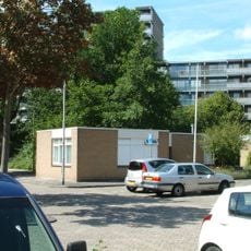
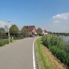
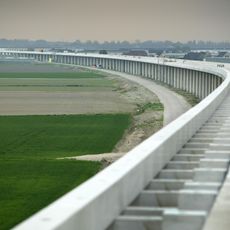
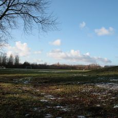
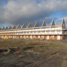
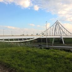
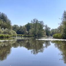
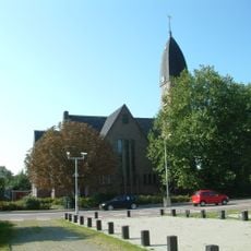
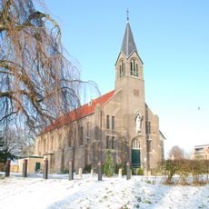
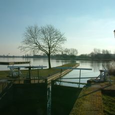
Lansingerland is a municipality in South Holland formed in 2007 when three towns merged: Berkel en Rodenrijs, Bleiswijk, and Bergschenhoek. The flat polder landscape features open fields, numerous greenhouses, and quiet neighborhoods connected by a network of dikes and waterways that manage the low-lying terrain.
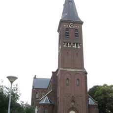
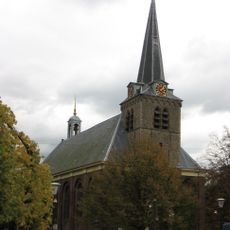
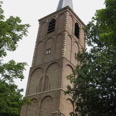
Berkel en Rodenrijs emerged over 900 years ago from farming settlements in peat bogs, while Bleiswijk was founded around 1242 and Bergschenhoek became independent in 1811. The three towns merged in 2007 to improve administration and service delivery for the growing population.
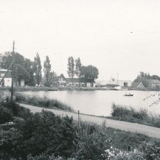
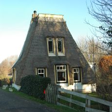
Lansingerland reflects everyday Dutch village life with a relaxed pace and strong community bonds. Residents gather at local markets and seasonal festivals where shared traditions and neighborhood activities create a welcoming atmosphere for everyone.
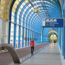
Lansingerland is easily accessible by car or train, with Lansingerland-Zoetermeer station connecting to Rotterdam in about 10 minutes. A dense network of cycling paths and local bus lines makes travel between the villages comfortable and safe.
The name Lansingerland comes from an old boundary line called Lansingh that once divided two water boards and remains visible as a small dike structure in the landscape today. This historic division became a symbol of unity when the three towns merged, connecting past and present.
The community of curious travelers
AroundUs brings together thousands of curated places, local tips, and hidden gems, enriched daily by 60,000 contributors worldwide.