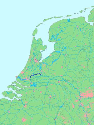
Hollandse IJssel, River system in South Holland and Utrecht, Netherlands.
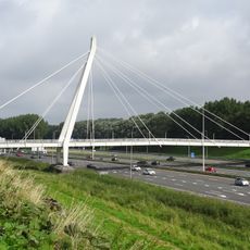
The Hollandse IJssel is a river system extending 46 kilometers from Nieuwegein through several towns before reaching Krimpen aan den IJssel at the Nieuwe Maas. It flows through a flat, water-rich landscape shaped by dikes, weirs, and carefully managed waterways.
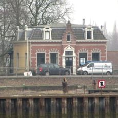
The waterway began as a natural branch of the Rhine delta centuries ago. Over time, its connections to other rivers were modified to better manage regional water and protect settlements from flooding.
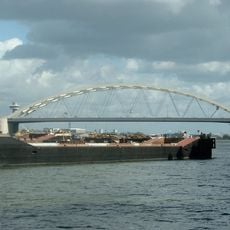
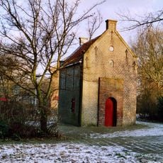
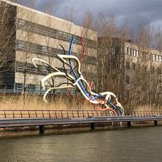
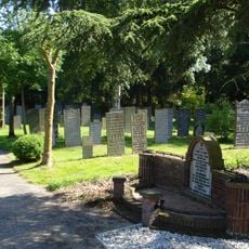
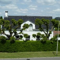
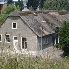
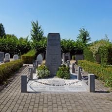
Communities along the river have built their lives around the water for centuries. Fishing and boating remain central to how locals spend their time and connect with each other.
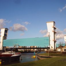
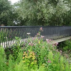
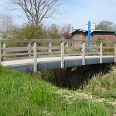
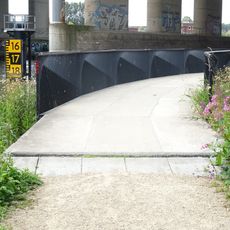
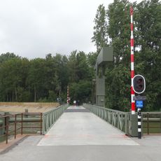
The banks are accessible at many points and good for walking or cycling along the dikes. Keep an eye on water levels during heavy rain, as the area is prone to water management changes.
Unlike typical rivers, this waterway functions primarily as a drainage system for surrounding pastures rather than generating its own flow. Its main purpose is moving excess water away from farmland to keep the countryside dry.
The community of curious travelers
AroundUs brings together thousands of curated places, local tips, and hidden gems, enriched daily by 60,000 contributors worldwide.