Signaal Imbosch, Summit in Rheden, Netherlands
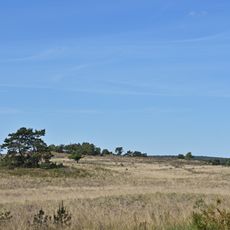
Signaal Imbosch is a summit in the Veluwezoom region that rises to about 110 meters and marks the highest point in Gelderland province and European Netherlands outside South Limburg. The peak sits within forested terrain and is reached by footpaths that wind through the woods.
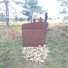
During World War II, German forces built a radio tracking station on the summit codenamed Teerose II as part of the Luftwaffe air defense network. The military installation served as a key point for monitoring the region's airspace.
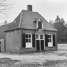
The name Imbosch comes from an old practice where beekeepers brought their hives here during heather blooming season. This tradition shaped how people used the land for generations.
The summit is reachable from the Tafelberg parking area via a narrow forest path that winds through the woods in a short walk. The route is easy to manage on foot even though it climbs steadily uphill.
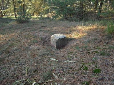
A triangulation stone marker stands at the peak and once played a role in the country's surveying history, but dense tree cover hides the view from the actual highest point completely. Despite this geographic recognition, the landscape from the summit itself remains hidden from sight.
The community of curious travelers
AroundUs brings together thousands of curated places, local tips, and hidden gems, enriched daily by 60,000 contributors worldwide.