
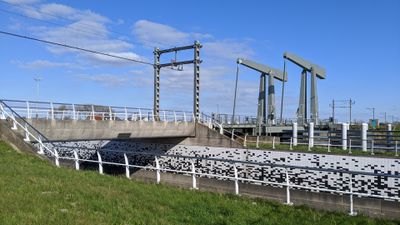
Koegrasbrug, pont ferroviaire néerlandais
Location: Hollands Kroon
Location: Den Helder
Longest Span: 17 m
Part of: Den Helder–Amsterdam railway
GPS coordinates: 52.90194,4.78861
Latest update: March 17, 2025 13:37
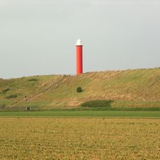
Groote Kaap
5.5 km
De Kooy
1.4 km
Fort Dirks Admiraal
5.4 km
De Helsdeur
4.9 km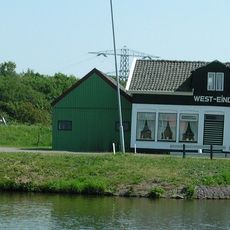
Westeinde
2.3 km
Friese Buurt
2.6 km
Koopvaarders Lock
5 km
Fort Westoever
5.3 km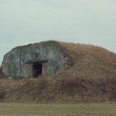
Fort Oostoever
5.1 km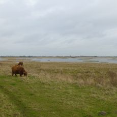
Mariëndal
5 km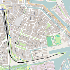
Raccordement Den Helder Haven
5.3 km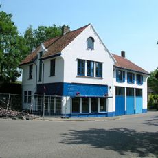
Spoorbuurt
4.1 km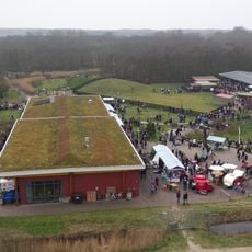
Visitors center De Helderse Vallei
5.1 km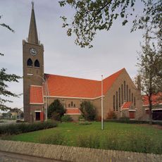
Sint Johannes Evangelistkerk
1.7 km
Sportpark Julianadorp
2.7 km
Oude Dok
5.8 km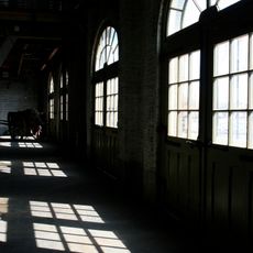
Gebouw 66
5.8 km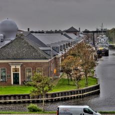
Woonhuis officieren
5.8 km
Gebouw 28
5.8 km
Gebouw 43
5.8 km
Gebouw 1
5.8 km
Nieuweweg 23, Den Helder
3.5 km
Gebouw 51
5.8 km
Gebouw 47
5.8 km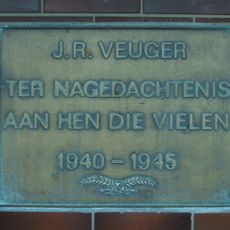
Plaquette in het NS-station
4.2 km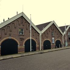
Petotjohloods
5.6 km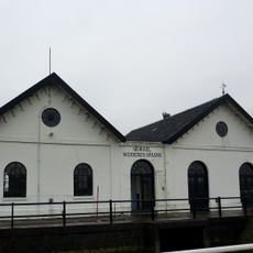
Wijdenes Spaans
5.5 km
Ziekenboeg/Atlantikwall: ziekenboeg
3.5 kmReviews
Visited this place? Tap the stars to rate it and share your experience / photos with the community! Try now! You can cancel it anytime.
Discover hidden gems everywhere you go!
From secret cafés to breathtaking viewpoints, skip the crowded tourist spots and find places that match your style. Our app makes it easy with voice search, smart filtering, route optimization, and insider tips from travelers worldwide. Download now for the complete mobile experience.

A unique approach to discovering new places❞
— Le Figaro
All the places worth exploring❞
— France Info
A tailor-made excursion in just a few clicks❞
— 20 Minutes