Isfjorden, Fjord in Rauma Municipality, Norway
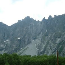
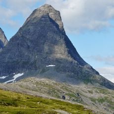
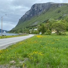
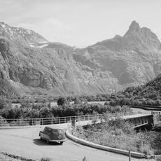
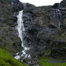
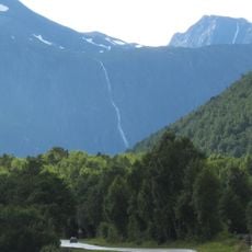
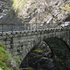
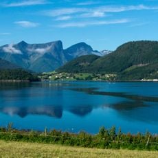
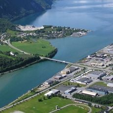
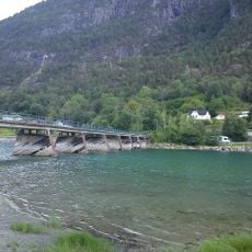
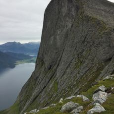
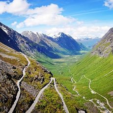
Isfjorden is a fjord in Rauma Municipality that stretches from Åndalsnes toward the village of Isfjorden, surrounded by steep mountainsides. The waterway cuts through a dramatic terrain shaped by glacial activity and bordered by forested slopes.
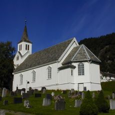
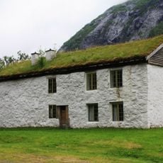
The fjord served as a waterway connecting remote communities throughout the region's past. Over centuries, the area around it became an increasingly important settlement point for local populations.
The surrounding region developed into a center for Norwegian clothing manufacturing, with multiple factories operating throughout the twentieth century.
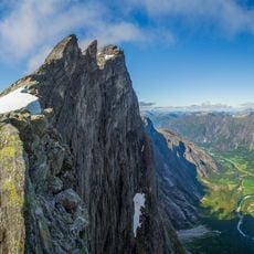
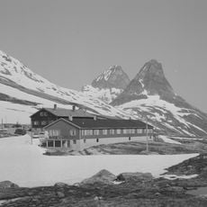
Several hiking routes start from nearby towns and lead toward mountain summits surrounding the fjord. Weather in the area changes rapidly, so visitors should prepare with appropriate clothing and gear.
Two rivers meet at the fjord's eastern end and create a productive fishing zone that draws anglers. This convergence point is particularly active during salmon season when waters teem with fish.
The community of curious travelers
AroundUs brings together thousands of curated places, local tips, and hidden gems, enriched daily by 60,000 contributors worldwide.