Norway–Russia border, International border in Sør-Varanger, Norway
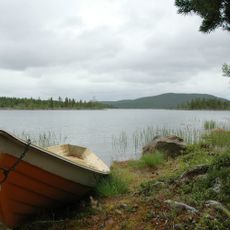
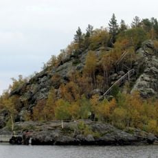
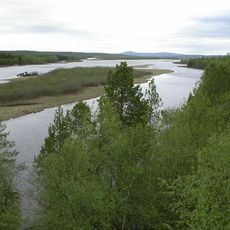
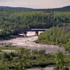
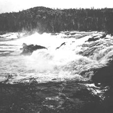
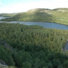
The Norway–Russia border is an international boundary line in Norwegian Sør-Varanger and Russian Murmansk Oblast that extends for 195 kilometers. Two thirds of this line follow the Pasvikelva and Jakobselva rivers through Arctic tundra, while a shorter section crosses the Barents Sea.
The Treaty of Saint Petersburg in 1826 established the official dividing line between both countries, replacing earlier agreements about tax rights in Sami territories. After the Russian Revolution of 1917 and World War Two, the line was resurveyed several times and marked with permanent posts.
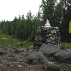
The marker posts along the line appear in pairs with distinct colors: Norwegian ones show yellow with black caps while Russian posts carry red and green stripes. This color coding helps hikers and local residents identify the exact position of the national divide in the treeless tundra.
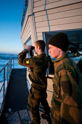
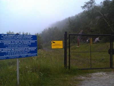
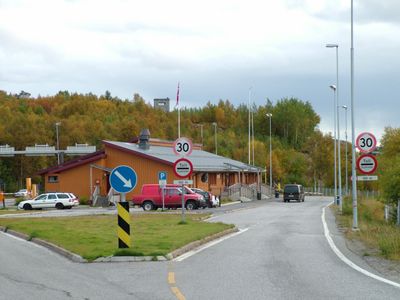
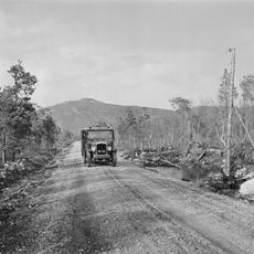
Storskog serves as the only authorized crossing point between both countries and requires valid travel documents for passage through this Schengen external frontier. Hikers and nature watchers can view the landscape along the river sections but must not enter the marked zone without official permission.
A narrow strip of 8 meters width is kept treeless along the entire line so the boundary markers remain visible and nobody accidentally crosses the divide. Within this cleared corridor, 396 marking elements were placed including concrete pedestals, stone cairns and wooden posts.
The community of curious travelers
AroundUs brings together thousands of curated places, local tips, and hidden gems, enriched daily by 60,000 contributors worldwide.