
Système de zones humides de Hedmarksvidda, محمية طبيعية في النرويج
Location: Løten
Location: Hamar Municipality
Location: Ringsaker Municipality
GPS coordinates: 61.05600,11.06000
Latest update: May 1, 2025 11:35
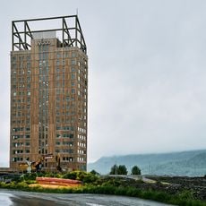
Mjøstårnet
21.1 km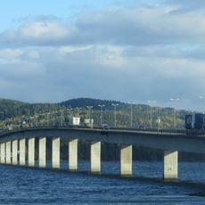
Mjøsa Bridge
25.6 km
Prøysenstua
21.5 km
Budor
17.2 km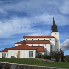
Veldre Church
18 km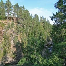
Korpreiret
20.8 km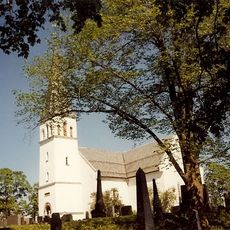
Furnes Church
24 km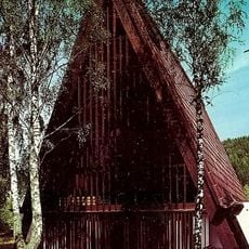
Brumunddal Church
20 km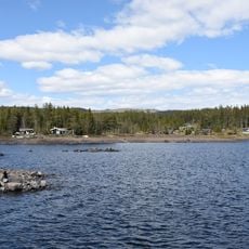
Nord-Mesna
23 km
Langodden
23.9 km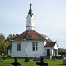
Åsmarka Church
15.9 km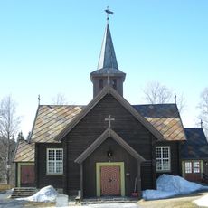
Mesnali Church
20.5 km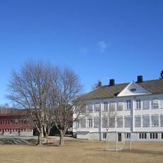
Kilde skole
23.6 km
Sjusjøen fjellkirke
22.8 km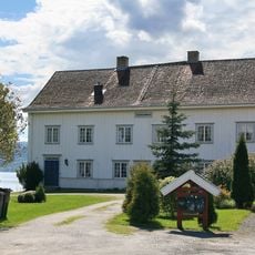
Ringsaker parsonage
25 km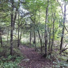
Bjørgedalen naturreservat
21.6 km
Åmot prestegård
19.3 km
Størigarden
14.8 km
Buttekvern
20.7 km
Domstuguberget
24.1 km
Simenstad
19.9 km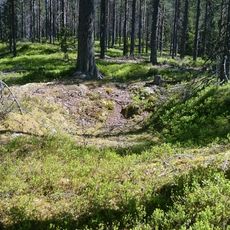
Kullgrop, Hamar
12.9 km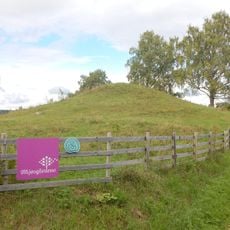
Sveinhaug gravfelt
24.7 km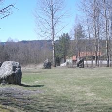
Tolvsteinene
23.6 km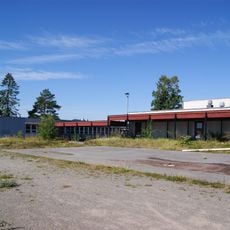
Skarpsno skole
24.8 km
Stein
25.8 km
Hesthagen - Husmannsplass
23.5 km
Åmot prestegård
19.3 kmReviews
Visited this place? Tap the stars to rate it and share your experience / photos with the community! Try now! You can cancel it anytime.
Discover hidden gems everywhere you go!
From secret cafés to breathtaking viewpoints, skip the crowded tourist spots and find places that match your style. Our app makes it easy with voice search, smart filtering, route optimization, and insider tips from travelers worldwide. Download now for the complete mobile experience.

A unique approach to discovering new places❞
— Le Figaro
All the places worth exploring❞
— France Info
A tailor-made excursion in just a few clicks❞
— 20 Minutes