
Svingberget
Location: Øyer
Elevation above the sea: 600 m
GPS coordinates: 61.26867,10.44521
Latest update: May 16, 2025 17:28
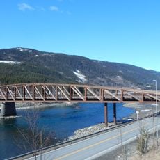
Tretten Bridge
9.1 km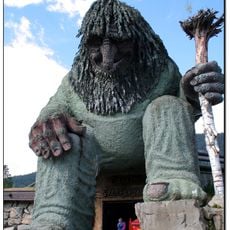
Hunderfossen Familiepark
5 km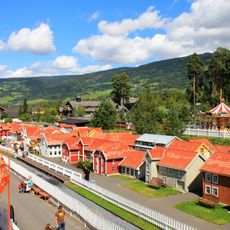
Lilleputthammer
3.3 km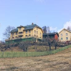
Aulestad
10.8 km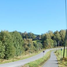
Rudsbygd
11.1 km
Norsk vegmuseum
4.7 km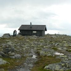
Nevelfjell
9.7 km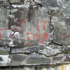
Rock carvings at Drotten
9.8 km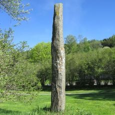
Fåberg stone
12.7 km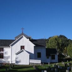
Tretten Church
9.3 km
Jorekstad svømmehall
12.9 km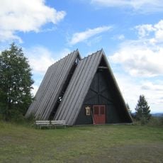
Nordseter fjellkirke
13.9 km
Øyer prestegård
1.2 km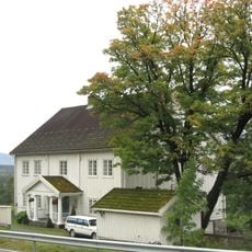
Fåberg prestegård
12.7 km
Øyra kirkested
13.7 km
Hunderfossen Dam
5.4 km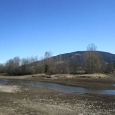
Lågendeltaet
13.8 km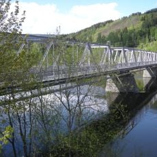
Brunlaug Bridge
11.7 km
Gausa Kledefabrikk
11.3 km
Hovsåa
1.9 km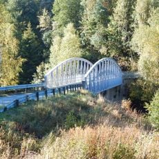
Arlien bridge
11.9 km
Østerhaug
1.1 km
Tøfthaugen
11 km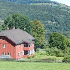
Onsum
13.9 km
Follebu Meieri
10.3 km
Granrudmoen Bridge
3.2 km
Øyer Bridge
2 km
Follebu bruk
11.3 kmReviews
Visited this place? Tap the stars to rate it and share your experience / photos with the community! Try now! You can cancel it anytime.
Discover hidden gems everywhere you go!
From secret cafés to breathtaking viewpoints, skip the crowded tourist spots and find places that match your style. Our app makes it easy with voice search, smart filtering, route optimization, and insider tips from travelers worldwide. Download now for the complete mobile experience.

A unique approach to discovering new places❞
— Le Figaro
All the places worth exploring❞
— France Info
A tailor-made excursion in just a few clicks❞
— 20 Minutes