Enable Location

We need your location to show you interesting places around you

Discover nearby places

Find interesting locations and hidden gems around you

Precise directions

Get accurate directions and distances to places

Your location is never shared with other users. It's only used when you tap the location button.

Hauhungatahi

Log in to your account

Start exploring — it's free

Trusted by 62,189 travelers worldwide

Continue with Google
Continue with Apple
or

We will send you a code to connect

By continuing, you accept our Terms and Conditions and our Privacy Policy

Check your inbox

We've sent a pincode in your inbox. Please enter the code below.

Hauhungatahi

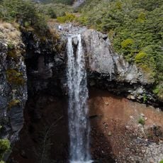
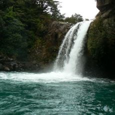
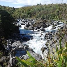
Hauhungatahi, Volcanic summit in Tongariro National Park, New Zealand.

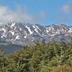
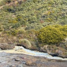
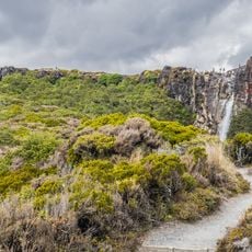
Hauhungatahi is a volcanic summit in Tongariro National Park that rises to 1,521 meters with steep slopes covered in native vegetation and exposed rock. The mountain displays distinct plant communities as elevation increases, creating varied landscapes across its terrain.

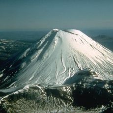
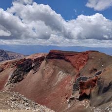
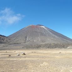
The peak formed over 900,000 years ago as an andesitic volcano built by successive lava flows that have since eroded. This volcanic past shaped the geological character of the surrounding landscape and remains visible in its features today.

The mountain holds spiritual and practical significance for local Māori groups who historically used its elevated position to navigate the surrounding region. This connection to the land remains an important part of how the community relates to the area.

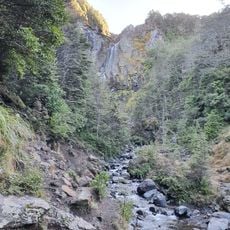
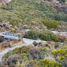
The hike to the summit takes around four to five hours across varied terrain starting from the western access point near Erua. Visitors should prepare for changing weather conditions as conditions shift rapidly with elevation gain.

The mountain displays distinct ecological zones during the climb, ranging from montane forest around 850 meters to the treeline near 1,250 meters. This rapid shift through different plant communities creates a noticeable change in surroundings over a relatively short walk.

The community of curious travelers

AroundUs brings together thousands of curated places, local tips, and hidden gems, enriched daily by 60,000 contributors worldwide.

Start exploring
GPS coordinates
-39.22933,175.44407
Latest update
December 13, 2025 17:02
« Hauhungatahi - Volcanic summit in Tongariro National Park, New Zealand » is provided by Around Us (aroundus.com). Images and texts are derived from Wikimedia project under a Creative Commons license. You are allowed to copy, distribute, and modify copies of this page, under the conditions set by the license, as long as this note is clearly visible.

Discover hidden gems everywhere you go!

From secret cafés to breathtaking viewpoints, skip the crowded tourist spots and find places that match your style. Our app makes it easy with voice search, smart filtering, route optimization, and insider tips from travelers worldwide. Download now for the complete mobile experience.

Around Us App Screenshot

A unique approach to discovering new places

Le Figaro

All the places worth exploring

France Info

A tailor-made excursion in just a few clicks

20 Minutes

Around Us
Travel Guide & Maps
Download

Send to your phone

QR Code
1

Open the camera app on your mobile.

2

Point at the QR code with your camera. A notification will appear.

3

Tap the notification to open the link.