Enable Location

We need your location to show you interesting places around you

Discover nearby places

Find interesting locations and hidden gems around you

Precise directions

Get accurate directions and distances to places

Your location is never shared with other users. It's only used when you tap the location button.

Mount Ngauruhoe

Log in to your account

Join the adventure

Create your free account and start exploring

Save your favorite places
Create custom travel routes
Rate and review places
Access the full interactive map
Continue with Google
Continue with Apple
Continue with email
By continuing, you accept our Terms and Conditions and our Privacy Policy
Create an account

Mount Ngauruhoe

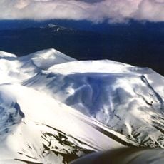
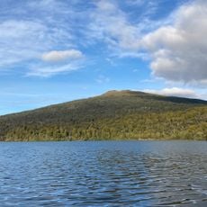
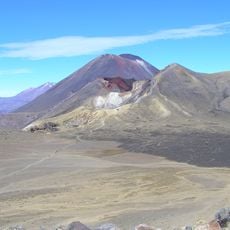
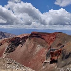
Mount Ngauruhoe, Volcanic summit in Tongariro National Park, New Zealand

Description

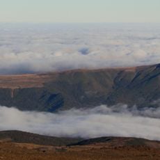
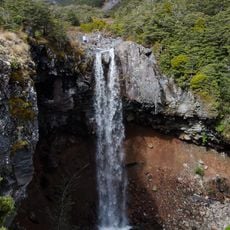
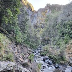
Mount Ngauruhoe is a volcanic summit in Tongariro National Park on New Zealand's North Island that rises to 2287 meters (7502 feet) with an almost perfect cone shape. The steep slopes are made up of layers of lava rock and volcanic ash that have built up over thousands of years.

History

Volcanic activity began here roughly 2500 years ago and shaped the current cone through repeated eruptions. The 20th century saw multiple episodes that ended with a final phase in 1975.

Culture

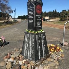
The name Ngauruhoe comes from the Māori language and marks a place with deep spiritual meaning for New Zealand's indigenous people. Visitors are asked not to climb the summit to honor the religious beliefs of local communities.

Practical

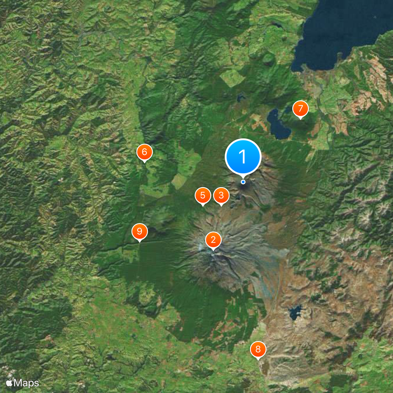
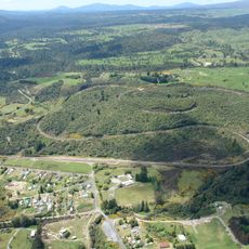
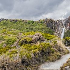
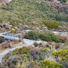
Access starts from the Mangatepopo car park, where a four-hour parking limit applies. The terrain is demanding and requires good fitness along with plenty of water and sun protection for the walk through open volcanic country.

Did you know?

Filmmaker Peter Jackson used this volcano as the setting for Mount Doom in The Lord of the Rings film trilogy. Since then, many visitors come here to see the location from the movies with their own eyes.

i
Location
i
Location
i
Elevation above the sea
2,291 m
i
Part of
North Island Volcanic Plateau
i
GPS coordinates
-39.15840,175.63474
i
Latest update
December 13, 2025 18:10

AroundUs brings together thousands of curated places, local tips, and hidden gems, enriched daily by 60,000 contributors worldwide. Discover all places nearby (Ruapehu District).

Reviews

Visited this place? Tap the stars to rate it and share your experience / photos with the community! Try now! You can cancel it anytime.

« Mount Ngauruhoe - Volcanic summit in Tongariro National Park, New Zealand » is provided by Around Us (aroundus.com). Images and texts are derived from Wikimedia project under a Creative Commons license. You are allowed to copy, distribute, and modify copies of this page, under the conditions set by the license, as long as this note is clearly visible.

Discover hidden gems everywhere you go!

From secret cafés to breathtaking viewpoints, skip the crowded tourist spots and find places that match your style. Our app makes it easy with voice search, smart filtering, route optimization, and insider tips from travelers worldwide. Download now for the complete mobile experience.

Around Us App Screenshot

A unique approach to discovering new places

Le Figaro

All the places worth exploring

France Info

A tailor-made excursion in just a few clicks

20 Minutes