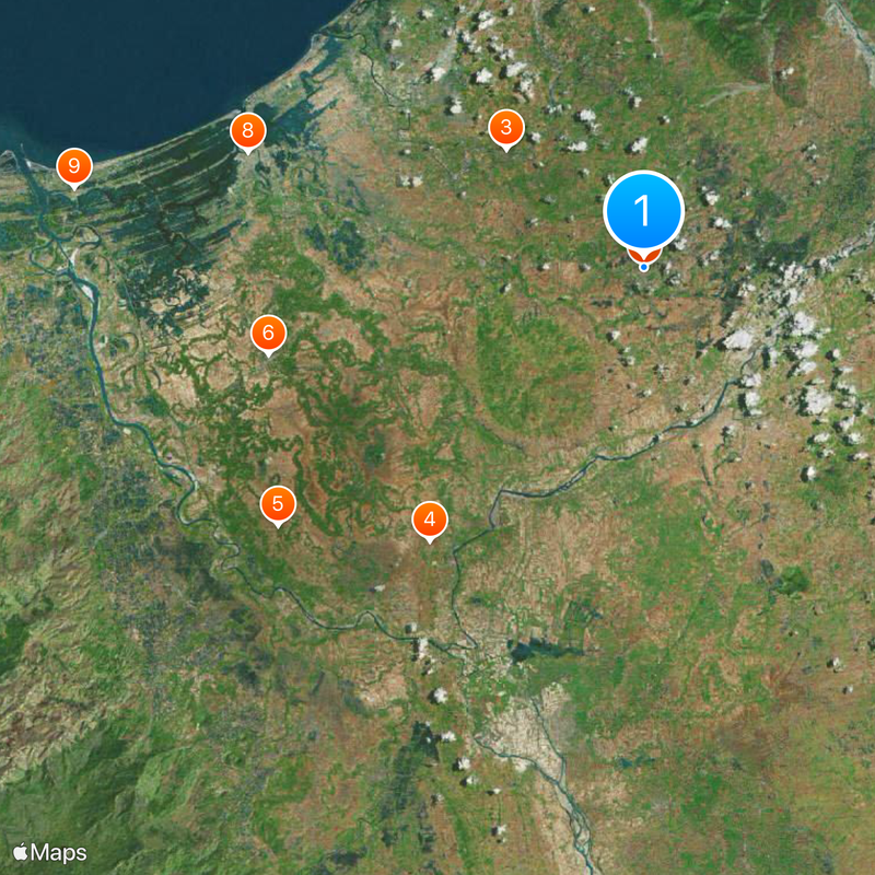
Urdaneta, Component city in Pangasinan, Philippines.
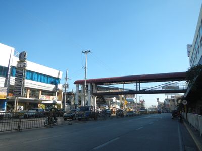
Urdaneta is a component city in Pangasinan that spans a large territory and serves as a central transportation hub connecting several towns and provinces. It is home to the region's largest livestock market, which supplies surrounding areas and drives economic activity for the locality.
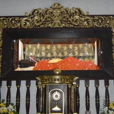
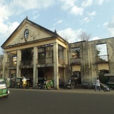
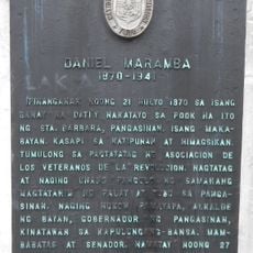
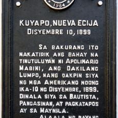
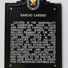
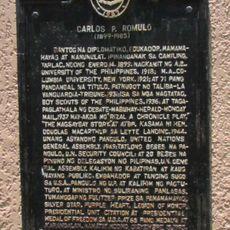
The settlement was founded in 1858 and named after Father Andrés de Urdaneta, a Spanish navigator who participated in an early expedition to the Philippines. This historical origin shapes the city's identity to this day.
The Dumayo Festival brings together the different neighborhoods through performances, markets, and community celebrations that display local traditions. The event shows how people here express their identity and connection to the city.
The city is easy to reach and well positioned for passing through or changing routes between different destinations. Visitors should know that the early morning is the best time to visit the livestock market when most transactions take place.
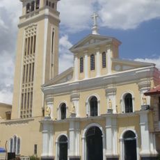
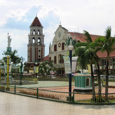
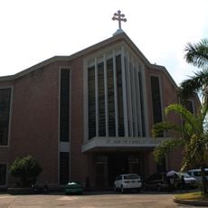
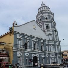
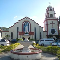
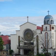
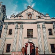
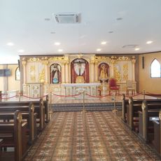
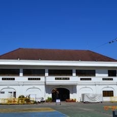
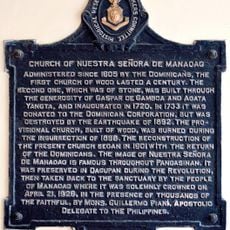
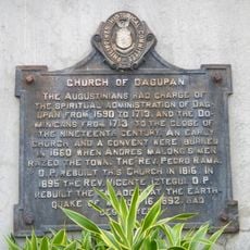
The city is home to two different religious institutions side by side: a traditional Catholic cathedral and a theological seminary of another Christian church. This coexistence of different faith communities is notable for the region's religious landscape.
Location: Pangasinan
Inception: 1858
Elevation above the sea: 50 m
Shares border with: Manaoag, Villasis
Website: http://urdaneta-city.gov.ph
GPS coordinates: 15.97611,120.57111
Latest update: December 17, 2025 09:15
Our Lady of Manaoag
11.6 km
Manaoag Church
11.6 km
St. Vincent Ferrer Statue
22.2 km
Apung Mamacalulu
28.6 km
Saint Dominic de Guzman Parish Church
24.6 kmUrdaneta Philippines Temple
0 m
Metropolitan Cathedral of St. John the Evangelist
26.4 km
Epiphany of Our Lord Co-Cathedral Parish
36.7 km
Urdaneta Cathedral
507 m
Casa Real
36.8 km
Saint Ildephonse of Seville Parish Church
18 km
Bayambang Plaza
22.2 km
Daniel Maramba historical marker
18.4 km
Cuyapo, Nueva Ecija historical marker
23.9 km
Saint Vincent Ferrer Prayer Park
22.1 km
Dagupan City Museum
26.4 km
Ramos House historical marker
36.7 km
Ramos House historical marker
36.7 km
Casa Real of Lingayen historical marker
36.8 km
City of San Carlos historical marker
24.6 km
Rancho Caridad historical marker
27.5 km
Church of Nuestra Señora de Manaoag historical marker
11.6 km
Seat of the Revolutionary Government of the Philippines historical marker
22.2 km
Church of San Carlos historical marker
24.6 km
Carlos P. Romulo historical marker
36.3 km
Eugenio Perez y Padlan historical marker
21.9 km
Church of Dagupan historical marker
26.3 km
Luzon Landing historical marker
27.5 kmVisited this place? Tap the stars to rate it and share your experience / photos with the community! Try now! You can cancel it anytime.
Discover hidden gems everywhere you go!
From secret cafés to breathtaking viewpoints, skip the crowded tourist spots and find places that match your style. Our app makes it easy with voice search, smart filtering, route optimization, and insider tips from travelers worldwide. Download now for the complete mobile experience.
A unique approach to discovering new places❞
— Le Figaro
All the places worth exploring❞
— France Info
A tailor-made excursion in just a few clicks❞
— 20 Minutes