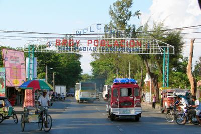
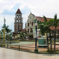
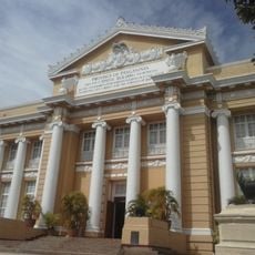
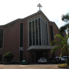
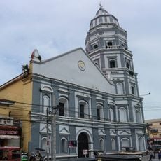
San Fabian, municipality of the Philippines in the province of Pangasinan
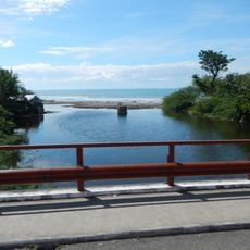
San Fabian is a municipality located in Pangasinan province in the Philippines. It occupies a flat coastal area where fishing and farming form the backbone of the local economy and daily life.
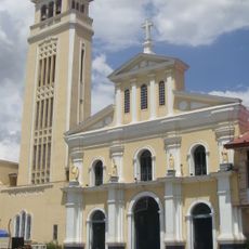
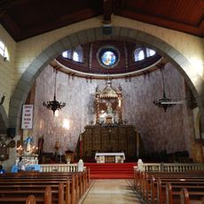
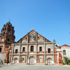
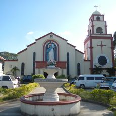
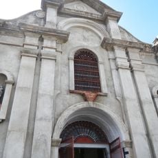
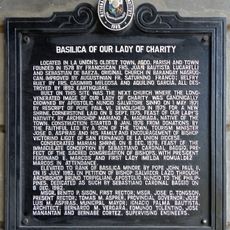
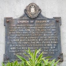
The municipality was established during the Spanish colonial period and named after a Christian saint. The region developed as a fishing village and remained a small coastal settlement through the centuries.
The town is best reached by local buses that connect to other cities in Pangasinan province. Basic accommodations and restaurants serving local food, especially seafood, are available throughout the area.
The community of curious travelers
AroundUs brings together thousands of curated places, local tips, and hidden gems, enriched daily by 60,000 contributors worldwide.