Kalinga, Administrative province in northern Luzon, Philippines.
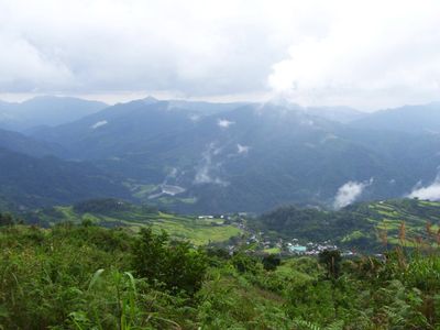
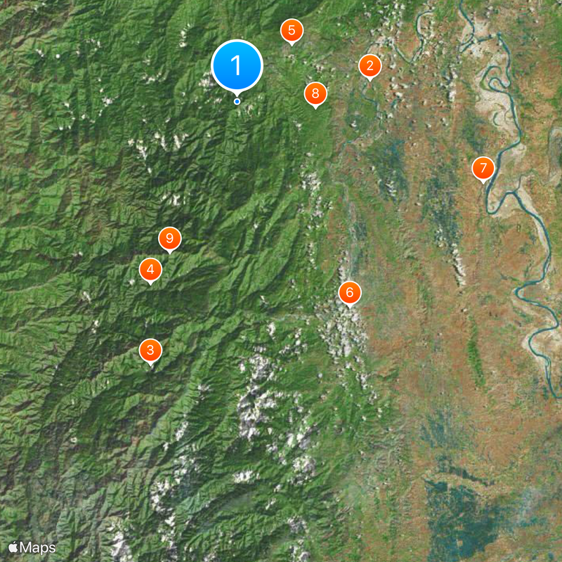
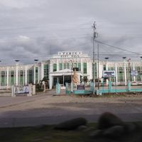
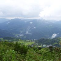
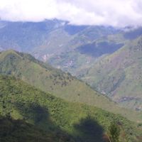
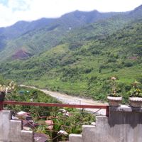
Kalinga is a mountainous administrative division in northern Luzon within the Cordillera highlands of the Philippines. Tabuk City serves as the capital and connects the scattered municipalities that lie along river valleys and mountain slopes.
The area was organized as part of the larger Mountain Province during the late 19th century and gained its current status as a separate administrative unit only in 1995. Before that, it was grouped with the neighboring Apayao region into a single shared province from 1966 onward.
Local tribes practice hand-tapped body art, with men and women wearing patterns that mark courage or important life moments. Many villages still follow the method of tapping designs into the skin using a bamboo stick and a citrus thorn.
Buses run daily from Manila to Tabuk City, with the journey taking around ten to twelve hours. Locally, jeepneys and minibuses connect the towns, though roads can become difficult during rain.
The Chico River runs through the entire province and feeds the terraced rice fields carved into steep mountain slopes. Some of these terraces have been built by hand over many generations and now form the foundation for growing rice across the region.
The community of curious travelers
AroundUs brings together thousands of curated places, local tips, and hidden gems, enriched daily by 60,000 contributors worldwide.