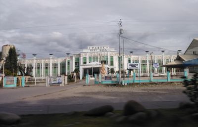
Tabuk, Provincial capital in Kalinga, Philippines
Tabuk is a city in Kalinga, Philippines, situated in a mountainous area with rolling terrain and flowing waterways throughout the region. The city is divided into multiple barangays and serves as an administrative center where agricultural activities and water management systems sustain the local economy.
The area was once called the Valley of Gamonangs after the Kalinga people who lived there and maintained their independence for many generations. The current name Tabuk comes from a local water source, reflecting the community's long connection to the land and its water systems.
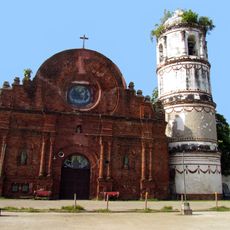
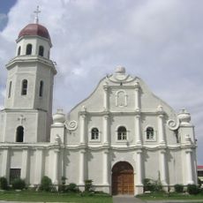
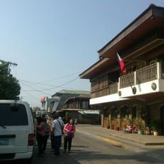
The Kalinga people have shaped this place for centuries, and their traditions remain visible in local crafts, celebrations, and how communities interact with each other and the land. Walking through town, you notice this heritage in small details like markets, artisan workshops, and the way locals gather and communicate.
Plan your visit during the dry season when roads are easier to navigate and outdoor activities are more accessible throughout the city. Wear sturdy footwear when exploring, since the hilly terrain can be uneven and paths may require careful footing.
The name Tabuk actually comes from an old word meaning a water stream that flows from a small settlement toward the main river. This connection between the city's name and its waterways reveals how essential water has always been to this place and its people.
The community of curious travelers
AroundUs brings together thousands of curated places, local tips, and hidden gems, enriched daily by 60,000 contributors worldwide.