Enable Location

We need your location to show you interesting places around you

Discover nearby places

Find interesting locations and hidden gems around you

Precise directions

Get accurate directions and distances to places

Your location is never shared with other users. It's only used when you tap the location button.

Masbate

Log in to your account

Start exploring — it's free

Trusted by 62,077 travelers worldwide

Continue with Google
Continue with Apple
or

We will send you a code to connect

By continuing, you accept our Terms and Conditions and our Privacy Policy

Check your inbox

We've sent a pincode in your inbox. Please enter the code below.

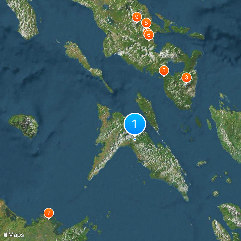
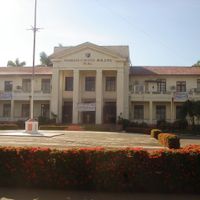
Masbate, Island province between Luzon and Visayas, Philippines

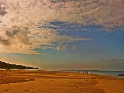
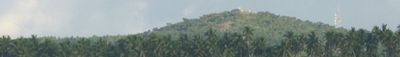
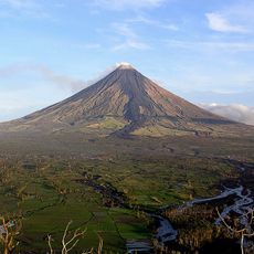
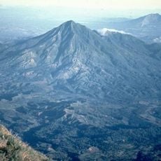
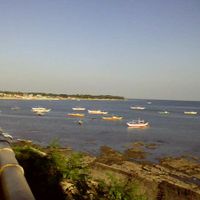
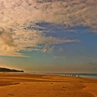
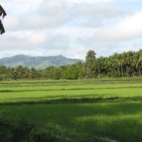
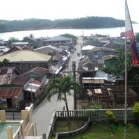
Masbate includes three main islands lying between Luzon and the Visayas, forming a territory with rolling hills and stretches of coastline. The islands sit in the Samar Sea and are separated by shallow waters and narrow channels.

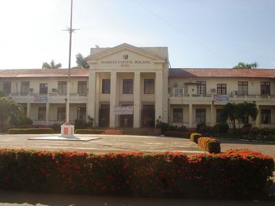
Spanish colonizers set up mining operations here in the 16th century to extract gold deposits. This early activity drew settlers and shaped the development of island communities for centuries.

The name comes from a Malay word meaning "beautiful", though locals today know the place mainly for its open ranch land and working livestock culture. Visitors passing through smaller towns often see cowboys on horseback moving herds along dusty roads in the early morning.

Flights from Manila or Cebu reach the island in about an hour, while ferries offer a slower option with more stops along the way. The dry season is the better time to travel, as unpaved roads inland become easier to navigate.

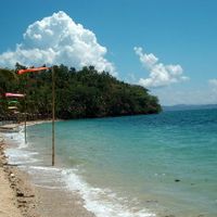
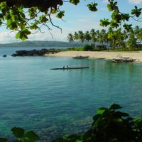
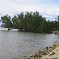
The waters around the islands are considered one of the best places in the world to see manta rays, especially in the channels between the three main islands. Divers often come here to watch the animals in shallow areas where they go to be cleaned.

The community of curious travelers

AroundUs brings together thousands of curated places, local tips, and hidden gems, enriched daily by 60,000 contributors worldwide.

Start exploring
Location
Inception
1864
Capital city
Masbate City
Reference
0504100000
Part of
Bicol Region
Shares border with
케손주, Camarines Sur, Albay, Sorsogon, Northern Samar, Samar, Biliran, Cebu, Iloilo, Capiz, Leite
GPS coordinates
12.26667,123.58333
Latest update
December 13, 2025 16:29
« Masbate - Island province between Luzon and Visayas, Philippines » is provided by Around Us (aroundus.com). Images and texts are derived from Wikimedia project under a Creative Commons license. You are allowed to copy, distribute, and modify copies of this page, under the conditions set by the license, as long as this note is clearly visible.

Discover hidden gems everywhere you go!

From secret cafés to breathtaking viewpoints, skip the crowded tourist spots and find places that match your style. Our app makes it easy with voice search, smart filtering, route optimization, and insider tips from travelers worldwide. Download now for the complete mobile experience.

Around Us App Screenshot

A unique approach to discovering new places

Le Figaro

All the places worth exploring

France Info

A tailor-made excursion in just a few clicks

20 Minutes

Around Us
Travel Guide & Maps
Download

Send to your phone

QR Code
1

Open the camera app on your mobile.

2

Point at the QR code with your camera. A notification will appear.

3

Tap the notification to open the link.