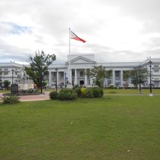
San Simon, Municipality in Pampanga, Philippines
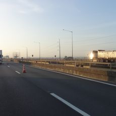
San Simon is a municipality in Pampanga, located along the North Luzon Expressway. The town spreads across 14 barangays with a mix of farmland, residential neighborhoods, and industrial zones.
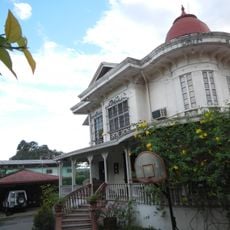
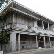
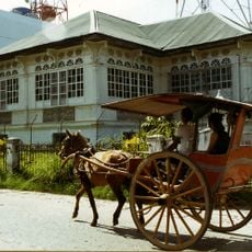
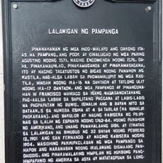
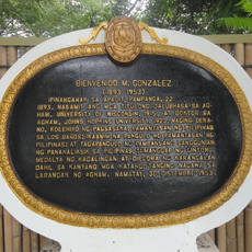
The town began as an agricultural settlement in 1770 established by Don Mariano del Pilar de los Reyes. It developed from this farming community into the modern municipal territory we see today.
Each of the fourteen barangays within San Simon maintains traditional Filipino celebrations, with regular gatherings at the municipal markets and community spaces.
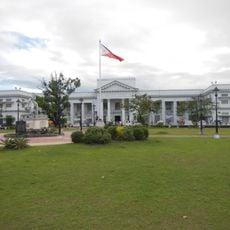
The town center is accessible via the North Luzon Expressway and has public markets and several schools. Basic services and telecommunications are available throughout the main barangays.
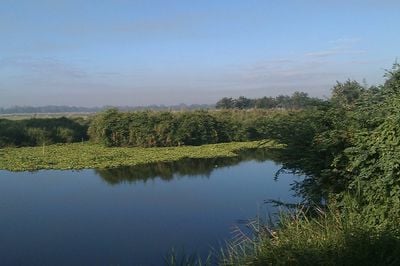
The municipality combines industrial development with agricultural production, maintaining numerous rice fields alongside modern manufacturing facilities in designated zones.
The community of curious travelers
AroundUs brings together thousands of curated places, local tips, and hidden gems, enriched daily by 60,000 contributors worldwide.